There are travel alerts for this roadway. See them below
Current Weather And Visibility
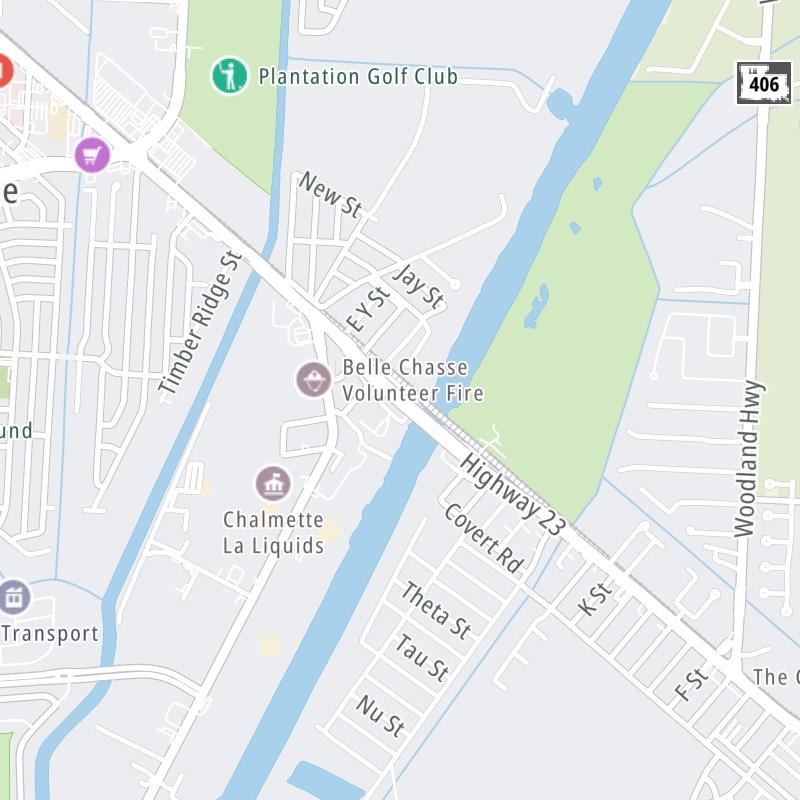
Key Regions Along The Belle Chasse Bridge
Conditions and forecasts provided in partnership with AccuWeather.

Weather provided in partnership with AccuWeather.
Louisiana Radar & Satellite
NOAA composite satellite & weather radar imagery.
Images from GOES-East Southern Mississippi Valley Sector. Sequence may take a moment to initialize.

Weather & Travel Conditions With The Road Map
This bridge serves Belle Chasse, Timberlane, and Terrytown. Use the interactive map of the Belle Chasse Bridge to pick a location for destination weather.
Pan and zoom the interactive map to your chosen position. Select markers to view conditions at that location and see nearby available traffic cameras along the bridge.

 Lake Pontchartrain Causeway ▹
 Grand Parkway ▹
 Hardy Toll Road ▹
 Sam Houston Tollway ▹
 Tomball Tollway ▹
 Westpark Tollway ▹


