This Location At A Glance
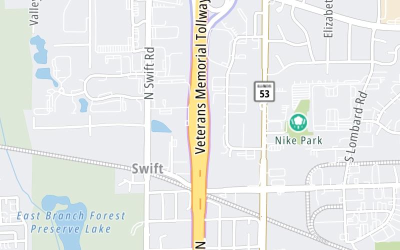
This toll point is located in Addison. Glendale Heights is nearby.
This location is in the Chicagoland - Northwestern Indiana area.
Map image © TomTom Intl BV
This location's approximate GPS Coordinates are 41.92306 x -88.03776.
On to Army Trail Road, about 0.6 miles away ►
◄ Back to North Avenue/IL 64, about 1.3 miles away.
Nearby gas and food are shown on the interactive map below.
Weather & Visibility

Mostly Cloudy
48°F / 9°C
Feels Like
61°F / 16.1°C

Visibility
10 Mi / 16.1 Km
3 Hr Precip
0 In / 0.0 Cm

-
NNW Wind
4.5 Mi / 7.2 Km
Gusts
8.4 Mi / 13.5 Km
See the full forecast for the Chicagoland - Northwestern Indiana area
Conditions and forecasts provided in partnership with AccuWeather.

Weather provided in partnership with AccuWeather.
Available Cameras

1.37 Mi
1.37 Mi
1.37 Mi
1.37 Mi
3.10 Mi
Advertising


 Chicago Skyway ▹
 Jane Addams Memorial Tollway ▹
 Ronald Reagan Memorial Tollway ▹
 Tri State Tollway ▹
 Veterans Memorial Tollway ▹
 Cline Avenue Bridge ▹
 Illinois Route 390 ▹
 Houbolt Road Extension ▹
 Indiana Toll Road ▹
 Ohio Turnpike ▹


