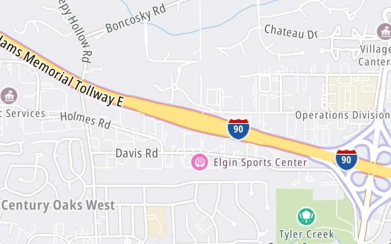
This Location At A Glance
This toll point is located in Elgin. Cherry Valley is nearby.
This location is in the Chicagoland - Northwestern Indiana area.
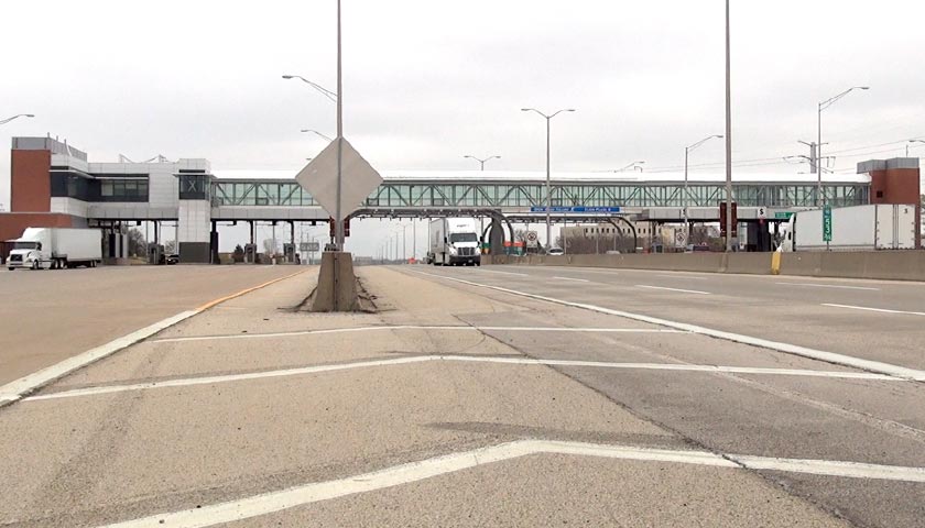
Photo by Turnpikes.com
This location's approximate GPS Coordinates are 42.07028 x -88.30693.
On to Illinois 31, about 0.8 miles away ►
◄ Back to Randall Road, about 1.7 miles away.
Nearby gas and food are shown on the interactive map below.
Weather & Visibility

Mostly Clear
34°F / 1.3°C
Feels Like
31°F / -0.3°C

Visibility
15 Mi / 24.1 Km
3 Hr Precip
0 In / 0.0 Cm

-
NNW Wind
5.5 Mi / 8.9 Km
Gusts
15.1 Mi / 24.3 Km
See the full forecast for the Chicagoland - Northwestern Indiana area
Conditions and forecasts provided in partnership with AccuWeather.

Weather provided in partnership with AccuWeather.
Available Cameras

1.46 Mi
1.61 Mi
3.18 Mi
3.53 Mi
Advertising


 Chicago Skyway ▹
 Jane Addams Memorial Tollway ▹
 Ronald Reagan Memorial Tollway ▹
 Tri State Tollway ▹
 Veterans Memorial Tollway ▹
 Cline Avenue Bridge ▹
 Illinois Route 390 ▹
 Houbolt Road Extension ▹
 Indiana Toll Road ▹
 Ohio Turnpike ▹