This Location At A Glance
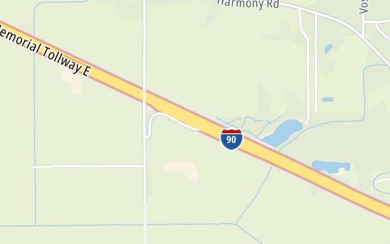
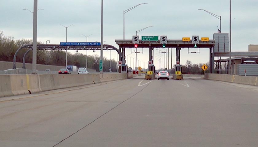
This toll point is located in Marengo. Cherry Valley is nearby. NOTE: EB Only.
This location is in the Chicagoland - Northwestern Indiana area.
This location's approximate GPS Coordinates are 42.16749 x -88.58917.
On to U.S. 20, about 4.2 miles away ►
◄ Back to Belvidere-Genoa Road, about 12.6 miles away.
Nearby gas and food are shown on the interactive map below.
Weather & Visibility

Cloudy
54°F / 12.3°C
Feels Like
51°F / 10.4°C

Visibility
10 Mi / 16.1 Km
3 Hr Precip
0 In / 0.0 Cm

-
ESE Wind
7.8 Mi / 12.6 Km
Gusts
14.6 Mi / 23.5 Km
See the full forecast for the Chicagoland - Northwestern Indiana area
Conditions and forecasts provided in partnership with AccuWeather.

Weather provided in partnership with AccuWeather.
Available Cameras
No camera feed …
There is no currently-available traffic camera feed for this location.


 Chicago Skyway ▹
 Jane Addams Memorial Tollway ▹
 Ronald Reagan Memorial Tollway ▹
 Tri State Tollway ▹
 Veterans Memorial Tollway ▹
 Cline Avenue Bridge ▹
 Illinois Route 390 ▹
 Houbolt Road Extension ▹
 Indiana Toll Road ▹
 Ohio Turnpike ▹