This Location At A Glance
This junction is located in Bensenville. Chicago and Wood Dale are nearby. NOTE: Exit not open/under construction.
This location is in the Chicagoland - Northwestern Indiana area.
This location's approximate GPS Coordinates are 41.97876 x -87.93980.
Which directions can I travel from here?
From this junction,
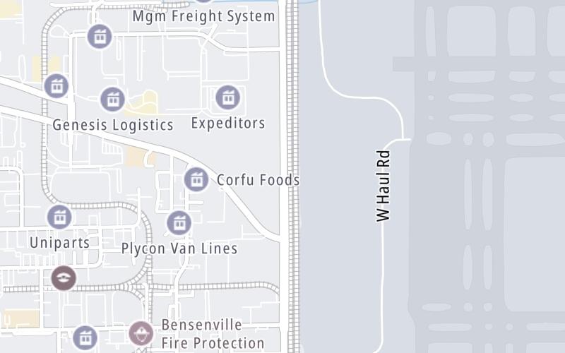
Nearby gas and food are shown on the interactive map below.
Weather & Visibility

Mostly Cloudy
69°F / 20.6°C
Feels Like
63°F / 17.1°C

Visibility
10 Mi / 16.1 Km
3 Hr Precip
0.05 In / 0.1 Cm

-
W Wind
11.5 Mi / 18.5 Km
Gusts
11.5 Mi / 18.5 Km
See the full forecast for This Location or the Chicagoland - Northwestern Indiana area
Conditions and forecasts provided in partnership with AccuWeather.

Weather provided in partnership with AccuWeather.
Available Cameras
No camera feed …
There is no currently-available traffic camera feed for this location.


 Chicago Skyway ▹
 Jane Addams Memorial Tollway ▹
 Ronald Reagan Memorial Tollway ▹
 Tri State Tollway ▹
 Veterans Memorial Tollway ▹
 Cline Avenue Bridge ▹
 Illinois Route 390 ▹
 Houbolt Road Extension ▹
 Indiana Toll Road ▹
 Ohio Turnpike ▹


