Share

Alabama Toll Maps

Search to find available roads, plazas, agencies, etc.

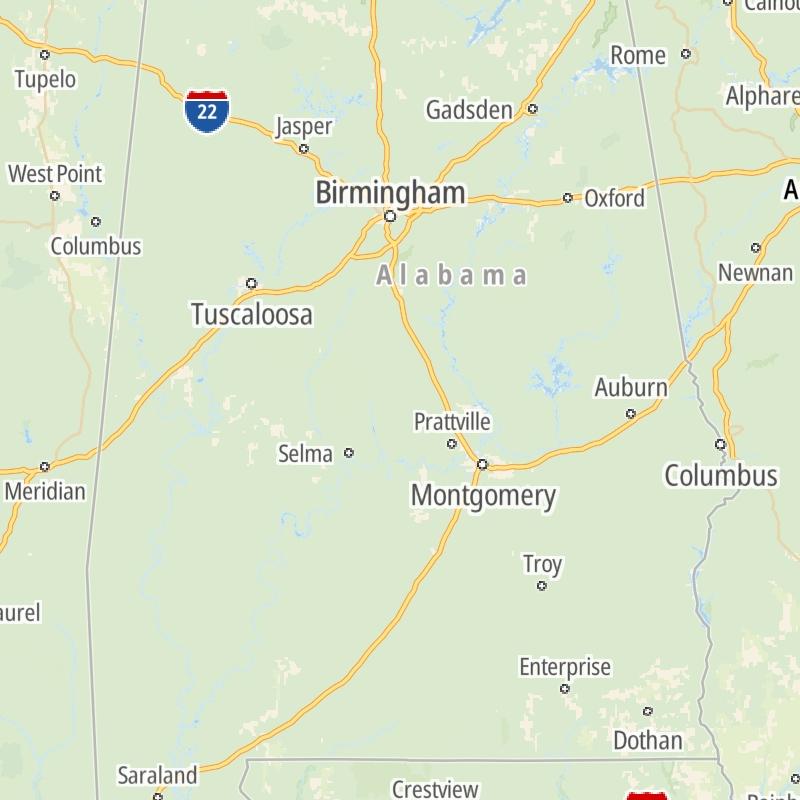
Alabama's Toll Road Maps

The list includes three toll roads within or crossing into the state of Alabama.

A menu of Alabama's interstates is also shown below.

Regional Toll Road MapsToll Roads By Type

Alabama Interstates

Simply scroll and tap the shield for the interstate you want.

Maps Of The State Of Alabama

Driving In The State Of Alabama

Alabama's toll roads maps are organized alphabetically and by the type of road. You can find city and regional toll roads below. Interstates are sorted by number.

State Map Regional Maps Roads By Type

Advertising
Advertising

Metro And Regional Toll Road Maps

Alabama's Metro Areas

Select a metro area for regional toll road maps and a list of the toll roads in that area.

Map Of This Region ▹

Communities in this metro area include Birmingham, Tuscaloosa, Pell City, Alabaster, and Jasper.

Individual toll maps for this region are listed below.

Map Of This Region ▹

Communities in this metro area include Montgomery, Wetumpka, Autaugaville, Mt Meigs, Tuskegee, and Selma.

Individual toll maps for this region are listed below.

Map Of This Region ▹

Communities in this metro area include Mobile, Daphne, Dauphin Island, Chickasaw, and Spanish Fort.

Individual toll maps for this region are listed below.

beaches-gulf coast

Roads Within Region

Map Of This Region ▹

Map Of This Region ▹

Communities in this metro area include Destin, Pensacola Beach, Pensacola, Niceville, and Gulf Breeze.

Individual toll maps for this region are listed below.

Interactive Map For Alabama

The state map displays icons for key regions in Alabama. Select a region for a list of the roads in the region. You can select road maps individually or get a metro-area map of the region.

Advertising
Advertising

Alabama's Toll facilities By Type

Advertising
Advertising
Turnpikes.com is proud to partner with the following: