Emerald Mountain Expressway Traffic And Weather

Current Weather And Visibility

Key Regions Along The Emerald Mountain Expressway

Montgomery - South Alabama

Currently Next 12 Hours

  • 0 7 04
  • Mostly Cloudy

    71°F

    Feels Like:

    73°F

  • Visibility

    10 Mi

    Humidity:

    81 %

  • East Northeast
    Wind

    1.2 MPH

    Gusts:

    3.7 MPH

Conditions and forecasts provided in partnership with AccuWeather.

AccuWeather logo

Weather provided in partnership with AccuWeather.

AccuWeather logo
Emerald Mountain Expressway static map

Alabama Radar & Satellite

NOAA composite satellite & weather radar imagery.

Images from GOES-East Southern Mississippi Valley Sector. Sequence may take a moment to initialize.

  • GOES 16: GOES-East Southern Mississippi Valley Sector
  • GOES 16: GOES-East Southern Mississippi Valley Sector
  • GOES 16: GOES-East Southern Mississippi Valley Sector
  • GOES 16: GOES-East Southern Mississippi Valley Sector
  • GOES 16: GOES-East Southern Mississippi Valley Sector
  • GOES 16: GOES-East Southern Mississippi Valley Sector
  • GOES 16: GOES-East Southern Mississippi Valley Sector
  • GOES 16: GOES-East Southern Mississippi Valley Sector

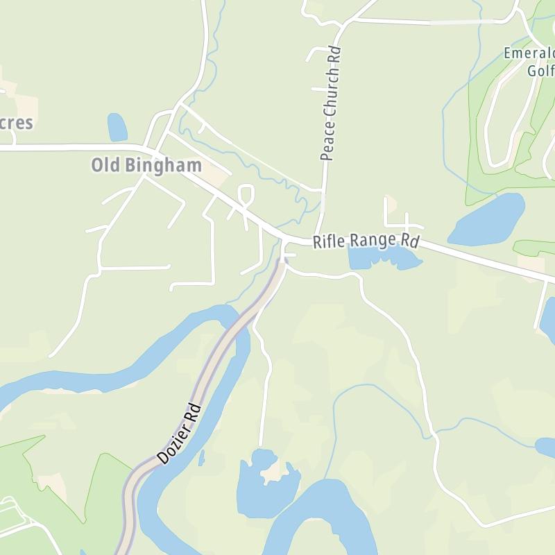
Weather & Travel Conditions With The Road Map

The Emerald Mountain Expressway is also known as Dozier Road. This local toll road serves multiple communities, including Montgomery. Use the interactive map of the Emerald Mountain Expressway to pick a location for destination weather.

Pan and zoom the interactive map to your chosen position. Markers depict exits or tolling points, and selecting the marker lets you get location-specific weather and traffic conditions.

View Map Regional Forecasts

Advertising
Advertising

The Emerald Mountain Expressway Road Map

Select markers on the map for location-specific traffic and weather conditions along the Emerald Mountain Expressway.

Advertising
Advertising

Regional Driving Forecasts For The Emerald Mountain Expressway

Montgomery - South Alabama 12-Hour Forecast

1:22 am Local Time

Conditions and forecasts provided in partnership with AccuWeather.

AccuWeather logo

Weather provided in partnership with AccuWeather.

AccuWeather logo
Advertising
Advertising

EXPLORE ALABAMA

Journey to key destinations around and adjacent to Alabama!

Map Of This Region ▹

Communities in this metro area include Birmingham, Tuscaloosa, Pell City, Alabaster, and Jasper.

Individual toll maps for this region are listed below.

Map Of This Region ▹

Communities in this metro area include Montgomery, Wetumpka, Autaugaville, Mt Meigs, Tuskegee, and Selma.

Individual toll maps for this region are listed below.

Map Of This Region ▹

Communities in this metro area include Mobile, Daphne, Dauphin Island, Chickasaw, and Spanish Fort.

Individual toll maps for this region are listed below.

beaches-gulf coast

Roads Within Region

Map Of This Region ▹

Map Of This Region ▹

Communities in this metro area include Destin, Pensacola Beach, Pensacola, Niceville, and Gulf Breeze.

Individual toll maps for this region are listed below.

Advertising
Advertising
Turnpikes.com is proud to partner with the following: