Tuscaloosa By Pass Traffic And Weather

Current Weather And Visibility

Key Regions Along The Tuscaloosa By Pass

Birmingham - Central Alabama

Currently Next 12 Hours

  • -6 6 06
  • Cloudy

    76°F

    Feels Like:

    73°F

  • Visibility

    10 Mi

    Humidity:

    76 %

  • South Southeast
    Wind

    5.8 MPH

    Gusts:

    5.8 MPH

Conditions and forecasts provided in partnership with AccuWeather.

AccuWeather logo

Weather provided in partnership with AccuWeather.

AccuWeather logo
Tuscaloosa By Pass static map

Alabama Radar & Satellite

NOAA composite satellite & weather radar imagery.

Images from GOES-East Southern Mississippi Valley Sector. Sequence may take a moment to initialize.

  • GOES 16: GOES-East Southern Mississippi Valley Sector
  • GOES 16: GOES-East Southern Mississippi Valley Sector
  • GOES 16: GOES-East Southern Mississippi Valley Sector
  • GOES 16: GOES-East Southern Mississippi Valley Sector
  • GOES 16: GOES-East Southern Mississippi Valley Sector
  • GOES 16: GOES-East Southern Mississippi Valley Sector
  • GOES 16: GOES-East Southern Mississippi Valley Sector
  • GOES 16: GOES-East Southern Mississippi Valley Sector

Weather & Travel Conditions With The Road Map

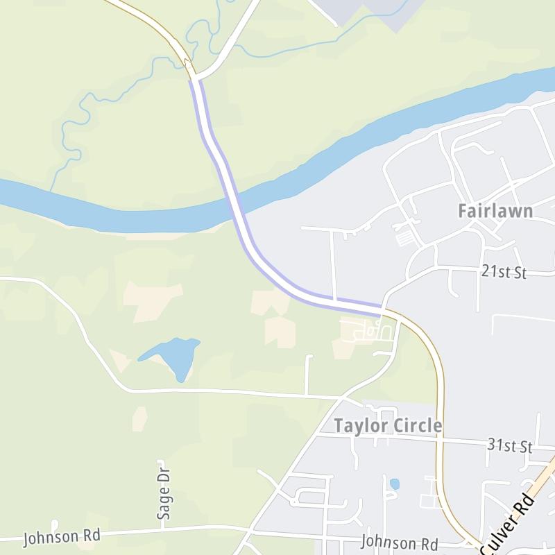
The Tuscaloosa By Pass is also known as Joe Mallisham Parkway. This bridge serves Tuscaloosa and Northport. Use the interactive map of the Tuscaloosa By Pass to pick a location for destination weather.

Pan and zoom the interactive map to your chosen position. Select markers to view conditions at that location and see nearby available traffic cameras along the bridge.

View Map Regional Forecasts

Advertising
Advertising

The Tuscaloosa By Pass Road Map

Select markers on the map for location-specific traffic and weather conditions along the Tuscaloosa By Pass.

Advertising
Advertising

Travel Alerts

No alerts to display at this time.

Advertising
Advertising

Regional Driving Forecasts For The Tuscaloosa By Pass

Birmingham - Central Alabama 12-Hour Forecast

7:13 pm Local Time

Conditions and forecasts provided in partnership with AccuWeather.

AccuWeather logo

Weather provided in partnership with AccuWeather.

AccuWeather logo
Advertising
Advertising

EXPLORE ALABAMA

Journey to key destinations around and adjacent to Alabama!

Map Of This Region ▹

Communities in this metro area include Birmingham, Tuscaloosa, Pell City, Alabaster, and Jasper.

Individual toll maps for this region are listed below.

Map Of This Region ▹

Communities in this metro area include Montgomery, Wetumpka, Autaugaville, Mt Meigs, Tuskegee, and Selma.

Individual toll maps for this region are listed below.

Map Of This Region ▹

Communities in this metro area include Mobile, Daphne, Dauphin Island, Chickasaw, and Spanish Fort.

Individual toll maps for this region are listed below.

beaches-gulf coast

Roads Within Region

Map Of This Region ▹

Map Of This Region ▹

Communities in this metro area include Destin, Pensacola Beach, Pensacola, Niceville, and Gulf Breeze.

Individual toll maps for this region are listed below.

Advertising
Advertising
Turnpikes.com is proud to partner with the following: