This Location At A Glance
This junction is located in Seattle.
This location is in the Seattle - Tacoma area.
This location's approximate GPS Coordinates are 47.62226 x -122.34439.
Which directions can I travel from here?
From this junction, traffic can enter traveling both southbound and northbound. Traffic can also exit traveling both southbound and northbound.
◄ Back to South Portal / Alaskan Wy / S Royal Brougham Wy, about 2.1 miles away.
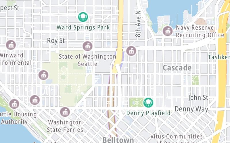
Nearby gas and food are shown on the interactive map below.
Weather & Visibility

Clear
50°F / 9.9°C
Feels Like
52°F / 11.2°C

Visibility
12 Mi / 19.3 Km
3 Hr Precip
0 In / 0.0 Cm

-
NNE Wind
1.1 Mi / 1.7 Km
Gusts
2.8 Mi / 4.4 Km
See the full forecast for This Location or the Seattle - Tacoma area
Conditions and forecasts provided in partnership with AccuWeather.

Weather provided in partnership with AccuWeather.
Available Cameras

0.23 Mi
0.29 Mi
0.33 Mi
0.38 Mi
0.38 Mi

 Tacoma Narrows Bridge ▹
 SR 99 Tunnel ▹
 SR 520 Bridge ▹


