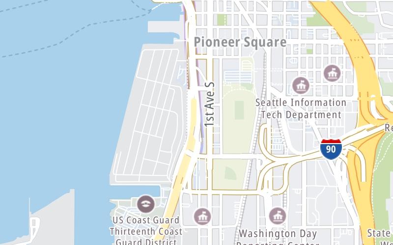
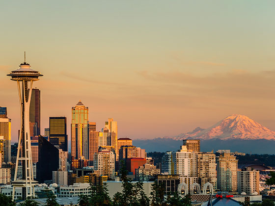
This junction is located in Seattle.
This location is in the Seattle - Tacoma area.
This location's approximate GPS Coordinates are 47.59439 x -122.33538.
Which directions can I travel from here?
From this junction, traffic can enter traveling both southbound and northbound. Traffic can also exit traveling both southbound and northbound.
On to North Portal / Dexter Ave / 6th Ave N / Mercer St, about 2.1 miles away ►
Which direction are tolls charged here?
Use the map below for all services within about a two (2) mile radius.
Closest Gas Stations

SHELL
511 South Dearborn Street • 0.41 miles
Store/Fuel Brand: Shell
Closest EV Chargers
Closest Fast Food
Fast food refers ONLY to quick-service and take-out diners. All restaurant types are shown on the map below.
FAT SHACK
200 South Jackson Street • 0.39 miles
COOKIE'S COUNTRY CHICKEN
314 2nd Avenue South • 0.40 miles

AUNTIE ANNE'S SEATTLE FOOD TRUCK
100 South Main Street • 0.41 miles
MOTO PIZZA T-MOBILE PARK
207 1/2 1st Avenue South • 0.43 miles
SAIGON STREETS
507 South Weller Street • 0.43 miles
SMASHBURGER
210 Occidental Ave S • 0.44 miles
PANCHOS
210 Occidental Ave S • 0.44 miles
MEDITERRANEAN MIX
205 1st Avenue South • 0.44 miles
The interactive map and lists on this page include key traveler services in a two-mile radius, including gas stations, truck stops, EV charging facilities, fast-food or family restaurants, and hotels.
Current driving conditions and weather, may be found below.

Mostly Cloudy
49°F / 9.5°C
Feels Like:
51°F / 10.5°C
Visibility
5 Mi / 8 Km
3-Hour Precip:
0 In / 0.0 Cm
South Southeast
Winds (SSE)
3 MPH / 4.8 KPH
Gusts:
8.3 MPH / 13.4 KPH
▸ Get the full forecast for This Location | The Seattle - Tacoma area
Destination Travel
Journey to key destinations around and adjacent to Washington!
Communities in this metro area include Seattle, Tacoma, Bellevue, Redmond, Kirkland, Artondale, and University Place.
Individual toll maps for this region are listed below.