Share

Tacoma Narrows Bridge At Tacoma Narrows Bridge Toll Plaza

Advertising
Advertising

This Location At A Glance

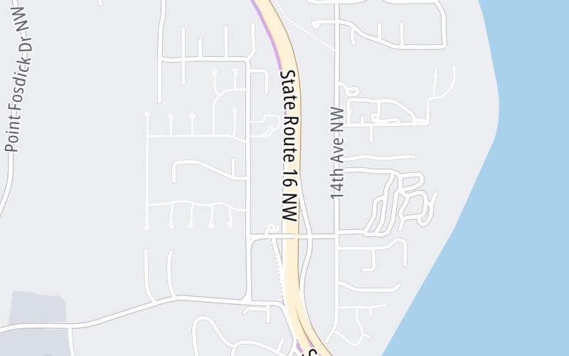
This toll point is located in Gig Harbor.

This location is in the Seattle - Tacoma area.

Tacoma Narrows Bridge Toll Plaza
Map image © TomTom Intl BV

This location's approximate GPS Coordinates are 47.28223 x -122.56109.

Interactive Map Below


On to 24th Street NW, about 0.1 miles away ►

◄ Back to 36th Street NW/Otto Jahn Rd, about 0.8 miles away.

Nearby gas and food are shown on the interactive map below.

View Map

Weather & Visibility

  • 01 7 02
  • Cloudy

    41°F / 5°C

    Feels Like

    45°F / 6.9°C

  • Visibility

    9 Mi / 14.5 Km

    3 Hr Precip

    0 In / 0.0 Cm

  • N Wind

    0 Mi / 0 Km

    Gusts

    2.2 Mi / 3.5 Km


Available Cameras

WA-16 @ 24TH AVE

Camera direction: NORTH. Tacoma 98335.
Source: WSDOT.

Camera direction: NORTH. Tacoma 98335.<br />Source: WSDOT -

785 Ft

Camera direction: NORTH. Tacoma 98335.<br />Source: WSDOT -

0.36 Mi

Camera direction: EAST. Tacoma 98335.<br />Source: WSDOT -

0.46 Mi

Camera direction: NORTH. Tacoma 98335.<br />Source: WSDOT -

0.73 Mi

Camera direction: NORTH. Tacoma 98335.<br />Source: WSDOT -

1.71 Mi

Advertising

Closest Food, Gas, EV And Other Services Near Tacoma Narrows Bridge Toll Plaza

The map shows traffic cameras and services in about a two-mile radius. Not all locations have cameras

Advertising

Discover Washington Attractions

Hotels and destinations header

Hotels & Airports

Destination Travel

Advertising
Advertising

EXPLORE WASHINGTON

Journey to key destinations around and adjacent to Washington!

Map Of This Region ▹

Communities in this metro area include Seattle, Tacoma, Bellevue, Redmond, Kirkland, Artondale, and University Place.

Individual toll maps for this region are listed below.

Static map of Tacoma Narrows Bridge at Tacoma Narrows Bridge Toll Plaza

Static map. Interactive map is above.

Advertising
Advertising
Turnpikes.com is proud to partner with the following: