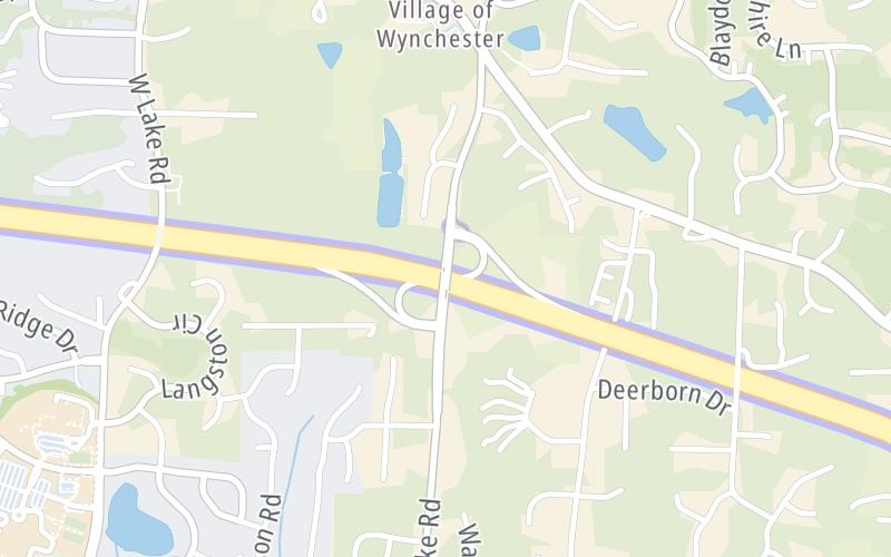
12:17 pm Local Time
Sunny
84°F / 28.7°C
Feels Like:
97°F / 36°C
Visibility
11 Mi / 17.7 Km
3-Hour Precip:
0 In / 0.0 Cm
West Southwest
Winds (WSW)
3 MPH / 4.8 KPH
Gusts:
5.7 MPH / 9.2 KPH
Forecast weather and driving conditions follow the jump. These include an hour-by-hour forecast for the next 12-hours, a three-day forecast and an extended forecast, for extended travel planning.
An area traffic map, with available traffic cameras, shows driving conditions, from current traffic to mother nature's influence on the road. These follow the short-range forecasts below.
There is no currently-available traffic camera feed for this location.
Sunday forecast: Humid with times of sun and clouds; a couple of afternoon showers and a heavy thunderstorm; storms can bring flash flooding and damaging winds
Partly Sunny W/ T-storms
86% Chance Rain
87° F/30.6° C
SW Wind
9 to 18 Mi/
15 to 30 Km
Sunrise
5:58 AM
Sunday night: Humid with times of sun and clouds; a couple of afternoon showers and a heavy thunderstorm; storms can bring flash flooding and damaging winds
Thunderstorms
90% Chance Rain
71° F/21.7° C
SW Wind
6 to 16 Mi/
9 to 26 Km
Sunset
8:33 PM
Monday forecast: Periods of clouds and sunshine with a couple of showers and a thunderstorm, mainly later; humid
Partly Sunny W/ T-storms
77% Chance Rain
86° F/30.0° C
WNW Wind
6 to 14 Mi/
9 to 22 Km
Sunrise
5:58 AM
Monday night: Periods of clouds and sunshine with a couple of showers and a thunderstorm, mainly later; humid
Thunderstorms
88% Chance Rain
72° F/22.2° C
NW Wind
5 to 13 Mi/
7 to 20 Km
Sunset
8:33 PM
Tuesday forecast: Mainly cloudy and humid; a thunderstorm in spots in the afternoon
Mostly Cloudy
41% Chance Rain
89° F/31.7° C
SSW Wind
8 to 23 Mi/
13 to 37 Km
Sunrise
5:59 AM
Tuesday night: Mainly cloudy and humid; a thunderstorm in spots in the afternoon
Intermittent Clouds
40% Chance Rain
72° F/22.2° C
SSW Wind
8 to 18 Mi/
13 to 30 Km
Sunset
8:33 PM
This junction is located in Oxford Greene, at GPS 35.67495 x -78.74438. Raleigh is nearby. This location is in the Raleigh - Durham area.
You can pan and zoom the interactive map. Select cameras to see the on-road traffic feeds, and pick exits or other markers for conditions at those locations.
Journey to key destinations around and adjacent to North Carolina!
Communities in this metro area include Charlotte, Wesley Chapel, Monroe, Unionville, and Fairview.
Individual toll maps for this region are listed below.
Communities in this metro area include Raleigh, Durham, Apex, Morrisville, Carpenter, and Chapel Hill.
Individual toll maps for this region are listed below.
Communities in this metro area include Norfolk, Chesapeake, Virginia Beach, Newport News, Portsmouth, Suffolk, and Moyock, North Carolina.
Individual toll maps for this region are listed below.
Communities in this metro area include Greenville, Spartanburg, Piedmont, Simpsonville, Anderson, and Asheville, North Carolina.
Individual toll maps for this region are listed below.