4:11 pm Local Time
Sunny
60°F / 15.7°C
Feels Like:
63°F / 17.5°C
Visibility
11 Mi / 17.7 Km
3-Hour Precip:
0 In / 0.0 Cm
East Northeast
Winds (ENE)
3.8 MPH / 6.1 KPH
Gusts:
6 MPH / 9.7 KPH
Forecast weather and driving conditions follow the jump. These include an hour-by-hour forecast for the next 12-hours, a three-day forecast and an extended forecast, for extended travel planning.
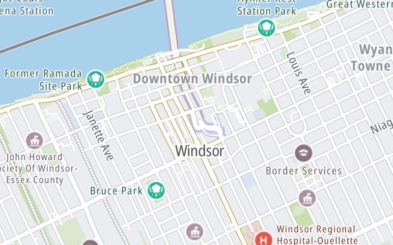
An area traffic map, with available traffic cameras, shows driving conditions, from current traffic to mother nature's influence on the road. These follow the short-range forecasts below.
M-10 @ JEFFERSON AVE SB
Camera Direction: EAST. Source: MDOT - Detroit 48226
Cameras Closest To Canada Border Services
There are many more cameras to view. Please see the map below to see all cameras within a two-mile (2 mile) radius.
Thursday forecast: Sunshine
Sunny
3% Chance Rain
60° F/15.6° C
ENE Wind
6 to 14 Mi/
9 to 22 Km
Sunrise
7:38 AM
Thursday night: Clear
Clear
0% Chance Rain
45° F/7.2° C
SE Wind
5 to 14 Mi/
7 to 22 Km
Sunset
7:00 PM
Friday forecast: A blend of sun and clouds
Intermittent Clouds
1% Chance Rain
67° F/19.4° C
SSW Wind
8 to 21 Mi/
13 to 33 Km
Sunrise
7:39 AM
Friday night: Partly cloudy with a shower in places
Partly Cloudy W/ Showers
55% Chance Rain
50° F/10.0° C
SSW Wind
7 to 16 Mi/
11 to 26 Km
Sunset
6:59 PM
Saturday forecast: Periods of clouds and sunshine with a passing shower
Partly Sunny W/ Showers
55% Chance Rain
65° F/18.3° C
WNW Wind
7 to 17 Mi/
11 to 28 Km
Sunrise
7:40 AM
Saturday night: Clear
Clear
0% Chance Rain
50° F/10.0° C
NE Wind
5 to 10 Mi/
7 to 17 Km
Sunset
6:57 PM
This junction is located in Windsor, at GPS 42.31586 x -83.03712. This location is in the Detroit - Southeast Lower Peninusula area; it also overlaps with the Southwestern Ontario area.
You can pan and zoom the interactive map. Select cameras to see the on-road traffic feeds, and pick exits or other markers for conditions at those locations.
Journey to key destinations around and adjacent to Michigan!
Communities in this metro area include Detroit, Grosse Ile, Ann Arbor, Pontiac, and Lansing.
Individual toll maps for this region are listed below.
Communities in this metro area include St Ignace and Sault Ste Marie.
Individual toll maps for this region are listed below.
Communities in this metro area include Port Huron, Flint, Saginaw, and Bay City.
Individual toll maps for this region are listed below.
Communities in this metro area include Toledo, Perrysburg, Maumee, Montpelier, and Wauseon.
Individual toll maps for this region are listed below.
Communities in this metro area include Sault Ste Marie, Thunder Bay, Fort Frances, and Greater Sudbury.
Individual toll maps for this region are listed below.
Communities in this metro area include Windsor.
Individual toll maps for this region are listed below.