Share

Mackinaw City Traffic And Weather

Right Now At Mackinaw Highway and The Mackinac Bridge

Current Weather And Visibility

4:43 am Local Time

  • 04 7 01
  • Mostly Clear

    F / -13.5°C

    Feels Like

    -3°F / -19.4°C

  • Visibility

    6 Mi / 9.7 Km

    3 Hr Precip

    0 In / 0.0 Cm

  • N Wind

    8.2 Mi / 13.2 Km

    Gusts

    12.4 Mi / 20 Km

Conditions and forecasts provided in partnership with AccuWeather.

AccuWeather logo

Weather provided in partnership with AccuWeather.

AccuWeather logo

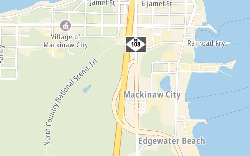
An area traffic map, with available traffic cameras, shows driving conditions, from current traffic to mother nature's influence on the road. These follow the short-range forecasts below.

Driving Forecast Traffic Map

Static map of Mackinac Bridge at Mackinaw Highway
Advertising

Driving Forecast For Mackinaw City, At Mackinaw Highway

Next 12 Hours

4:43 am Local Time

Conditions and forecasts provided in partnership with AccuWeather.

AccuWeather logo

Weather provided in partnership with AccuWeather.

AccuWeather logo
Advertising

Today, Tomorrow & The Next Day

Saturday January 31

Saturday forecast: Bitterly cold with times of clouds and sun

Cold

0% Chance Rain

15° F/-9.4° C

NNW Wind

6 to 15 Mi/

9 to 24 Km

Sunrise

8:02 AM

Saturday night: Clear to partly cloudy and very cold

Cold

0% Chance Rain

6° F/-14.4° C

W Wind

5 to 9 Mi/

7 to 15 Km

Sunset

5:43 PM

Sunday February 1

Sunday forecast: Not as cold with times of clouds and sun

Intermittent Clouds

0% Chance Rain

24° F/-4.4° C

S Wind

5 to 12 Mi/

7 to 19 Km

Sunrise

8:01 AM

Sunday night: Intermittent snow and flurries with little or no accumulation

Snow

0% Chance Rain

18° F/-7.8° C

SSE Wind

6 to 10 Mi/

9 to 17 Km

Sunset

5:45 PM

Monday February 2

Monday forecast: Cloudy with some snow, accumulating a coating to an inch; storm total snowfall an inch or two

Flurries

72% Chance Snow

26° F/-3.3° C

WSW Wind

8 to 17 Mi/

13 to 28 Km

Sunrise

8:00 AM

Monday night: Cold with low clouds

Dreary

25% Chance Snow

11° F/-11.7° C

WNW Wind

10 to 17 Mi/

17 to 28 Km

Sunset

5:46 PM

Advertising

Area Traffic Map

This junction is located in Mackinaw City, at GPS 45.77654 x -84.73377. This location is in the Eastern Upper Peninsula area; it also overlaps with the Northern Ontario area.

You can pan and zoom the interactive map. Select cameras to see the on-road traffic feeds, and pick exits or other markers for conditions at those locations.

Advertising

EXPLORE MICHIGAN

Journey to key destinations around and adjacent to Michigan!

Map Of This Region ▹

Communities in this metro area include Detroit, Grosse Ile, Ann Arbor, Pontiac, and Lansing.

Individual toll maps for this region are listed below.

Map Of This Region ▹

Communities in this metro area include St Ignace and Sault Ste Marie.

Individual toll maps for this region are listed below.

Map Of This Region ▹

Communities in this metro area include Port Huron, Flint, Saginaw, and Bay City.

Individual toll maps for this region are listed below.

Map Of This Region ▹

Communities in this metro area include Toledo, Perrysburg, Maumee, Montpelier, and Wauseon.

Individual toll maps for this region are listed below.

Map Of This Region ▹

Communities in this metro area include Sault Ste Marie, Thunder Bay, Fort Frances, and Greater Sudbury.

Individual toll maps for this region are listed below.

Map Of This Region ▹

Communities in this metro area include Windsor.

Individual toll maps for this region are listed below.

Advertising
Advertising
Turnpikes.com is proud to partner with the following: