12:42 am Local Time
Cloudy
71°F / 21.4°C
Feels Like:
68°F / 19.9°C
Visibility
4 Mi / 6.4 Km
3-Hour Precip:
0 In / 0.0 Cm
Southwest
Winds (SW)
3.9 MPH / 6.3 KPH
Gusts:
8.9 MPH / 14.3 KPH
Forecast weather and driving conditions follow the jump. These include an hour-by-hour forecast for the next 12-hours, a three-day forecast and an extended forecast, for extended travel planning.
An area traffic map, with available traffic cameras, shows driving conditions, from current traffic to mother nature's influence on the road. These follow the short-range forecasts below.
ICC MD-200 @ I-95
Camera Direction: WEST. Source: SHA - Washington 20705
Cameras Closest To I–95
There are more cameras available. Please see the map below to see all cameras within a two-mile (2 mile) radius.
Tuesday forecast: Brilliant sunshine and warm; breezy this afternoon; elevated fire threat in areas of dry brush due to gusty winds and low humidity
Sunny
25% Chance Rain
81° F/27.2° C
SSW Wind
12 to 28 Mi/
19 to 44 Km
Sunrise
6:12 AM
Tuesday night: Brilliant sunshine and warm; breezy this afternoon; elevated fire threat in areas of dry brush due to gusty winds and low humidity
Mostly Cloudy W/ T-storms
40% Chance Rain
64° F/17.8° C
SW Wind
8 to 25 Mi/
13 to 41 Km
Sunset
7:58 PM
Wednesday forecast: Very warm with episodes of sunshine
Intermittent Clouds
3% Chance Rain
82° F/27.8° C
NW Wind
8 to 21 Mi/
13 to 33 Km
Sunrise
6:11 AM
Wednesday night: Very warm with episodes of sunshine
Partly Cloudy
15% Chance Rain
57° F/13.9° C
ENE Wind
5 to 13 Mi/
7 to 20 Km
Sunset
7:59 PM
Thursday forecast: Mostly cloudy with a thunderstorm in spots in the afternoon
Thunderstorms
40% Chance Rain
80° F/26.7° C
SE Wind
7 to 21 Mi/
11 to 33 Km
Sunrise
6:10 AM
Thursday night: Mostly cloudy with a thunderstorm in spots in the afternoon
Cloudy
40% Chance Rain
62° F/16.7° C
S Wind
6 to 22 Mi/
9 to 35 Km
Sunset
8:00 PM
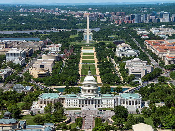
This junction is located in Calverton, at GPS 39.07362 x -76.90591. Beltsville is nearby. This location is in the Washington Metro area; it also overlaps with the Baltimore area.
You can pan and zoom the interactive map. Select cameras to see the on-road traffic feeds, and pick exits or other markers for conditions at those locations.
Journey to key destinations around and adjacent to Maryland!
Communities in this metro area include Baltimore, Edgewood, Columbia, Laurel, and Gaithersburg.
Individual toll maps for this region are listed below.
Communities in this metro area include Washington, Dc, Fairfax County, Virginia, Loundoun County, Virginia, Montgomery County, Maryland, and Prince George's County, Maryland.
Individual toll maps for this region are listed below.
Communities in this metro area include Wilmington, Middletown, Newark, and Carneys Point, New Jersey.
Individual toll maps for this region are listed below.