Current Weather And Visibility
Key Regions Along The Intercounty Connector MD 200
Baltimore
Currently Next 12 Hours

Cloudy
67°F
Feels Like:
68°F
Visibility
11 Mi
Humidity:
50 %
WNW Wind
3.5 MPH
Gusts:
7 MPH
Washington Metro
Currently Next 12 Hours
Cloudy
71°F
Feels Like:
71°F
Visibility
18 Mi
Humidity:
54 %
SW Wind
4.6 MPH
Gusts:
8.6 MPH
Conditions and forecasts provided in partnership with AccuWeather.

Weather provided in partnership with AccuWeather.
Maryland Radar & Satellite
NOAA composite satellite & weather radar imagery.
Images from GOES-East Northeast Sector. Sequence may take a moment to initialize.
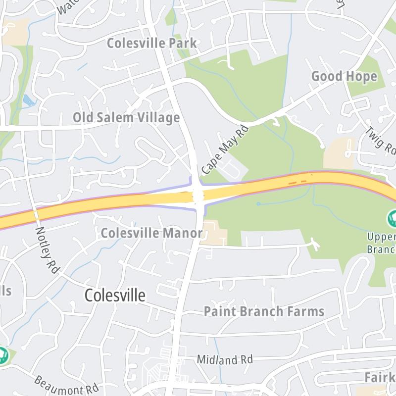
Weather & Travel Conditions With The Road Map
This local toll road serves multiple communities, including Laurel, Calverton, Fairland, Norbeck, Redland, Shady Grove Metro Station, and Silver Spring. Use the interactive map of the Intercounty Connector MD 200 to pick a location for destination weather.
Pan and zoom the interactive map to your chosen position. Markers depict exits or tolling points, and selecting the marker lets you get location-specific weather and traffic conditions.
 Wm Preston Lane Jr Memorial Bridge ▹
 Fort McHenry Tunnel ▹
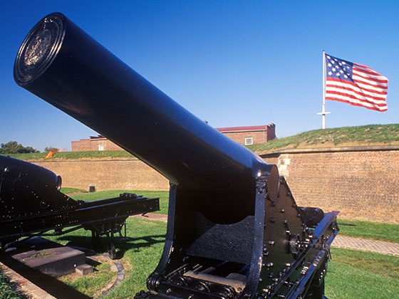
 Francis Scott Key Bridge ▹
 Baltimore Harbor Tunnel ▹
 Intercounty Connector MD 200 ▹
 Thomas J Hatem Memorial Bridge ▹
 Dulles Greenway ▹
 Delaware Memorial Bridge ▹
 Delaware Turnpike ▹
 State Route 1 ▹


