1:34 am Local Time
Clear
22°F / -5.4°C
Feels Like
22°F / -5.3°C
Visibility
22 Mi / 35.4 Km
3 Hr Precip
0 In / 0.0 Cm
N Wind
3.9 Mi / 6.3 Km
Gusts
9.1 Mi / 14.6 Km
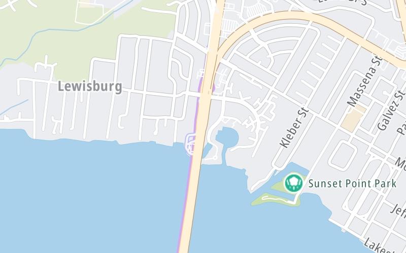
An area traffic map, with available traffic cameras, shows driving conditions, from current traffic to mother nature's influence on the road. These follow the short-range forecasts below.
Saturday forecast: Windy and much colder with plenty of sunshine

Sunny
3% Chance Snow
36° F/2.2° C
NNW Wind
17 to 37 Mi/
28 to 59 Km
Sunrise
6:52 AM
Saturday night: Breezy in the evening; otherwise, clear and very cold

Cold
0% Chance Rain
23° F/-5.0° C
NNW Wind
10 to 23 Mi/
17 to 37 Km
Sunset
5:36 PM
Sunday forecast: Plenty of sunshine, but cold

Sunny
0% Chance Rain
47° F/8.3° C
NW Wind
7 to 13 Mi/
11 to 20 Km
Sunrise
6:51 AM
Sunday night: Clear and cold

Clear
0% Chance Rain
30° F/-1.1° C
W Wind
7 to 8 Mi/
11 to 13 Km
Sunset
5:37 PM
Monday forecast: Plenty of sun

Sunny
0% Chance Rain
58° F/14.4° C
SW Wind
7 to 12 Mi/
11 to 19 Km
Sunrise
6:51 AM
Monday night: Partly cloudy

Partly Cloudy
0% Chance Rain
44° F/6.7° C
SSW Wind
7 to 10 Mi/
11 to 17 Km
Sunset
5:38 PM
This junction is located in Mandeville, at GPS 30.36663 x -90.09338. Chinchuba and Madisonville are nearby. This location is in the New Orleans - Mississippi Gulf area.
You can pan and zoom the interactive map. Select cameras to see the on-road traffic feeds, and pick exits or other markers for conditions at those locations.
Journey to key destinations around and adjacent to Louisiana!
Communities in this metro area include New Orleans, Slidell, Metairie, Mandeville, and Belle Chasse.
Individual toll maps for this region are listed below.
Communities in this metro area include Houston, Humble, Tomball, Sugar Land, Galveston, Pearland, and Katy.
Individual toll maps for this region are listed below.