Current Weather And Visibility
Key Regions Along The Lewis And Clark Bridge
Louisville - Southern Indiana
Currently Next 12 Hours

Partly Cloudy
51°F
Feels Like:
53°F
Visibility
22 Mi
Humidity:
61 %
N Wind
1.6 MPH
Gusts:
4.8 MPH
Conditions and forecasts provided in partnership with AccuWeather.

Weather provided in partnership with AccuWeather.
Kentucky Radar & Satellite
NOAA composite satellite & weather radar imagery.
Images from GOES-East Great Lakes Sector. Sequence may take a moment to initialize.
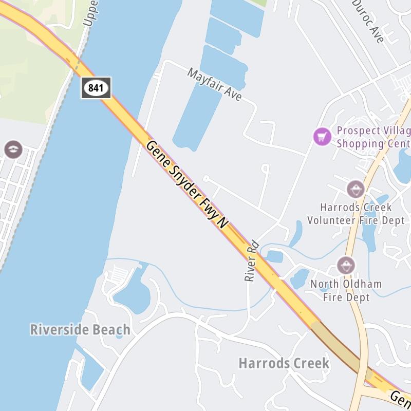
Weather & Travel Conditions With The Road Map
This bridge serves Louisville, Jeffersonville, IN, Glen View, and Prospect. Use the interactive map of the Lewis And Clark Bridge to pick a location for destination weather.
Pan and zoom the interactive map to your chosen position. Select markers to view conditions at that location and see nearby available traffic cameras along the bridge.

 Lewis And Clark Bridge ▹
 Abraham Lincoln Bridge ▹


