4:33 am Local Time
Mostly Cloudy
73°F / 23°C
Feels Like:
78°F / 25.7°C
Visibility
9 Mi / 14.5 Km
3-Hour Precip:
0 In / 0.0 Cm
East Southeast
Winds (ESE)
1.6 MPH / 2.5 KPH
Gusts:
3.3 MPH / 5.3 KPH
Forecast weather and driving conditions follow the jump. These include an hour-by-hour forecast for the next 12-hours, a three-day forecast and an extended forecast, for extended travel planning.
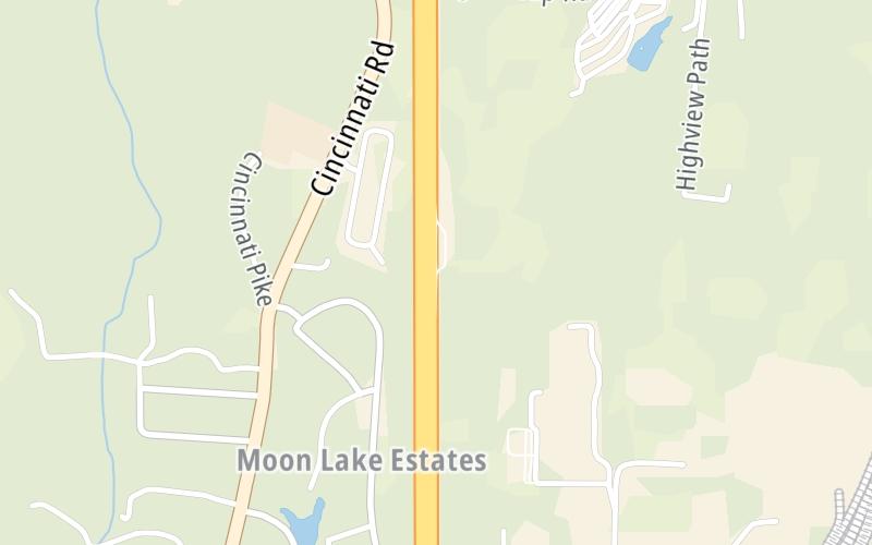
An area traffic map, with available traffic cameras, shows driving conditions, from current traffic to mother nature's influence on the road. These follow the short-range forecasts below.
Wednesday forecast: Times of clouds and sun with a gusty thunderstorm; very humid; thunderstorms can bring flash flooding and localized damaging wind gusts
Partly Sunny W/ T-storms
80% Chance Rain
87° F/30.6° C
SW Wind
9 to 24 Mi/
15 to 39 Km
Sunrise
6:28 AM
Wednesday night: Times of clouds and sun with a gusty thunderstorm; very humid; thunderstorms can bring flash flooding and localized damaging wind gusts
Partly Cloudy W/ T-storms
40% Chance Rain
73° F/22.8° C
SW Wind
7 to 13 Mi/
11 to 20 Km
Sunset
9:01 PM
Thursday forecast: Some sun, then clouds and humid; a couple of afternoon showers and a thunderstorm; thunderstorms can bring flash flooding and localized damaging wind gusts
Mostly Cloudy W/ T-storms
65% Chance Rain
89° F/31.7° C
SW Wind
9 to 23 Mi/
15 to 37 Km
Sunrise
6:28 AM
Thursday night: Some sun, then clouds and humid; a couple of afternoon showers and a thunderstorm; thunderstorms can bring flash flooding and localized damaging wind gusts
Mostly Cloudy W/ T-storms
88% Chance Rain
71° F/21.7° C
SW Wind
6 to 8 Mi/
9 to 13 Km
Sunset
9:00 PM
Friday forecast: Cloudy and very humid with a couple of showers and a thunderstorm
Thunderstorms
88% Chance Rain
83° F/28.3° C
SW Wind
6 to 10 Mi/
9 to 17 Km
Sunrise
6:29 AM
Friday night: Cloudy and very humid with a couple of showers and a thunderstorm
Intermittent Clouds
40% Chance Rain
71° F/21.7° C
SW Wind
6 to 9 Mi/
9 to 15 Km
Sunset
8:59 PM
This junction is located in Georgetown, at GPS 38.29304 x -84.55837.
You can pan and zoom the interactive map. Select cameras to see the on-road traffic feeds, and pick exits or other markers for conditions at those locations.
Journey to key destinations around and adjacent to Kentucky!
Communities in this metro area include Louisville and Jeffersonville, Indiana.
Individual toll maps for this region are listed below.
Communities in this metro area include Cincinnati, Norwood, Cheviot, Northbrook, Reading, Covington, Kentucky, and Newport, Kentucky.
Individual toll maps for this region are listed below.
Roads Within Region