11:09 am Local Time
Sunny
60°F / 15.8°C
Feels Like
76°F / 24.4°C
Visibility
16 Mi / 25.7 Km
3 Hr Precip
0 In / 0.0 Cm
NE Wind
2.9 Mi / 4.7 Km
Gusts
6.3 Mi / 10.1 Km
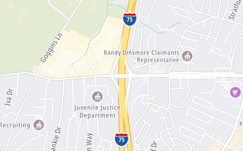
An area traffic map, with available traffic cameras, shows driving conditions, from current traffic to mother nature's influence on the road. These follow the short-range forecasts below.
Monday forecast: Sunshine and a few clouds

Mostly Sunny
14% Chance Rain
71° F/21.7° C
NNE Wind
6 to 15 Mi/
9 to 24 Km
Sunrise
6:31 AM
Monday night: Clear

Clear
1% Chance Rain
46° F/7.8° C
WSW Wind
4 to 5 Mi/
6 to 7 Km
Sunset
8:36 PM
Tuesday forecast: Partly sunny and nice

Partly Sunny
3% Chance Rain
76° F/24.4° C
WSW Wind
6 to 12 Mi/
9 to 19 Km
Sunrise
6:30 AM
Tuesday night: Increasing clouds with a couple of showers

Mostly Cloudy W/ Showers
84% Chance Rain
57° F/13.9° C
SW Wind
7 to 10 Mi/
11 to 17 Km
Sunset
8:37 PM
Wednesday forecast: A couple of morning showers; otherwise, partly sunny and breezy

Partly Sunny W/ Showers
68% Chance Rain
73° F/22.8° C
W Wind
13 to 33 Mi/
20 to 54 Km
Sunrise
6:29 AM
Wednesday night: Clear to partly cloudy

Mostly Clear
7% Chance Rain
43° F/6.1° C
NW Wind
8 to 30 Mi/
13 to 48 Km
Sunset
8:38 PM
This junction is located in Richmond, at GPS 37.73637 x -84.32370.
You can pan and zoom the interactive map. Select cameras to see the on-road traffic feeds, and pick exits or other markers for conditions at those locations.
Journey to key destinations around and adjacent to Kentucky!
Communities in this metro area include Louisville and Jeffersonville, Indiana.
Individual toll maps for this region are listed below.
Communities in this metro area include Cincinnati, Norwood, Cheviot, Northbrook, Reading, Covington, Kentucky, and Newport, Kentucky.
Individual toll maps for this region are listed below.
Roads Within Region