Share

Rio Vista Traffic And Weather

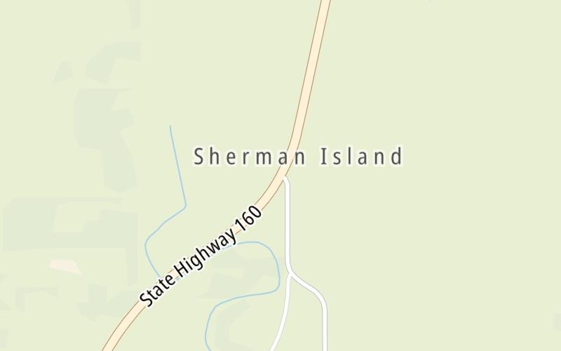
Right Now At Sherman Island Cross Road and The Antioch Bridge

Current Weather And Visibility

7:23 am Local Time

  • 07 7 03
  • Sunny

    52°F / 11.2°C

    Feels Like

    57°F / 13.9°C

  • Visibility

    11 Mi / 17.7 Km

    3 Hr Precip

    0 In / 0.0 Cm

  • SSW Wind

    1.1 Mi / 1.8 Km

    Gusts

    2.3 Mi / 3.6 Km

Conditions and forecasts provided in partnership with AccuWeather.

AccuWeather logo

Weather provided in partnership with AccuWeather.

AccuWeather logo

An area traffic map, with available traffic cameras, shows driving conditions, from current traffic to mother nature's influence on the road. These follow the short-range forecasts below.

Driving Forecast Traffic Map

Static map of Antioch Bridge at Sherman Island Cross Road
Advertising

Driving Forecast For Rio Vista, At Sherman Island Cross Road

Next 12 Hours

7:23 am Local Time

Conditions and forecasts provided in partnership with AccuWeather.

AccuWeather logo

Weather provided in partnership with AccuWeather.

AccuWeather logo
Advertising

Today, Tomorrow & The Next Day

Saturday March 28

Saturday forecast: Partly sunny and very warm

Partly Sunny

0% Chance Rain

82° F/27.8° C

NW Wind

6 to 12 Mi/

9 to 19 Km

Sunrise

6:58 AM

Saturday night: Mainly clear

Mostly Clear

0% Chance Rain

53° F/11.7° C

WNW Wind

6 to 9 Mi/

9 to 15 Km

Sunset

7:26 PM

Sunday March 29

Sunday forecast: Partly sunny and remaining very warm

Partly Sunny

0% Chance Rain

88° F/31.1° C

WNW Wind

7 to 17 Mi/

11 to 28 Km

Sunrise

6:57 AM

Sunday night: Partly cloudy

Partly Cloudy

0% Chance Rain

54° F/12.2° C

WSW Wind

7 to 13 Mi/

11 to 20 Km

Sunset

7:27 PM

Monday March 30

Monday forecast: Cloudy

Cloudy

0% Chance Rain

81° F/27.2° C

W Wind

8 to 22 Mi/

13 to 35 Km

Sunrise

6:55 AM

Monday night: Partly cloudy

Intermittent Clouds

0% Chance Rain

53° F/11.7° C

WSW Wind

7 to 16 Mi/

11 to 26 Km

Sunset

7:28 PM

Advertising

Area Traffic Map

This junction is located in Rio Vista, at GPS 38.05846 x -121.73876. This location is in the San Francisco Bay Area area.

You can pan and zoom the interactive map. Select cameras to see the on-road traffic feeds, and pick exits or other markers for conditions at those locations.

Advertising

EXPLORE CALIFORNIA

Journey to key destinations around and adjacent to California!

Map Of This Region ▹

Communities in this metro area include Los Angeles, Long Beach, Irvine, San Juan Capistrano, and Santa Ana.

Individual toll maps for this region are listed below.

Map Of This Region ▹

Communities in this metro area include San Diego, Chula Vista, and Tijuana, Mexico.

Individual toll maps for this region are listed below.

Advertising
Advertising
Turnpikes.com is proud to partner with the following: