This Location At A Glance
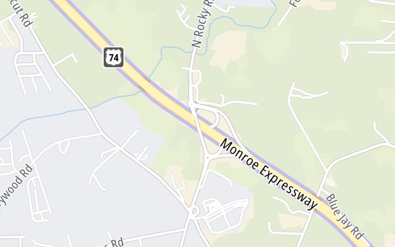
This is Exit 260 of the Monroe Expressway.
This junction is located in Unionville. Wesley Chapel and Monroe are nearby. NOTE: to Charlotte-Monroe Executive Airport.
This location is in the Charlotte area.
This location's approximate GPS Coordinates are 35.06338 x -80.59304.
Which directions can I travel from here?
From this junction, traffic can enter traveling both westbound and eastbound. Traffic can also exit traveling both westbound and eastbound.
On to M07/M08 Mainline Toll Gantry, about 1.7 miles away ►
◄ Back to M05/M06 Mainline Toll Gantry, about 0.6 miles away.
Nearby gas and food are shown on the interactive map below.
Weather & Visibility

Sunny
85°F / 29.6°C
Feels Like
100°F / 37.6°C

Visibility
29 Mi / 46.7 Km
3 Hr Precip
0 In / 0.0 Cm

-
SW Wind
2.9 Mi / 4.7 Km
Gusts
5.6 Mi / 9 Km
See the full forecast for This Location or the Charlotte area
Conditions and forecasts provided in partnership with AccuWeather.

Weather provided in partnership with AccuWeather.
Available Cameras

98 Ft
0.76 Mi
0.82 Mi
1.39 Mi
1.76 Mi


 Monroe Expressway ▹
 Triangle Expressway ▹
 Chesapeake Bay Bridge Tunnel ▹
 Chesapeake Expressway ▹
 Downtown Tunnel ▹
 South Norfolk Jordan Bridge ▹
 Midtown Tunnel ▹
 Dominion Boulevard Veterans Bridge ▹
 Southern Connector ▹


