This Location At A Glance
This is Exit 255 of the Monroe Expressway.
This junction is located in Stallings. Indian Trail is nearby. NOTE: West terminus of U.S. 74 Bypass.
This location is in the Charlotte area.
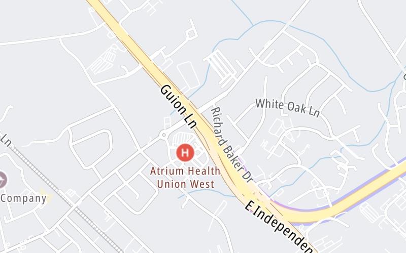
This location's approximate GPS Coordinates are 35.09685 x -80.67444.
Which directions can I travel from here?
From this junction, traffic can only enter going eastbound. Traffic can only exit going westbound.
On to M01/M02 Mainline Toll Gantry, about 1.0 mile away ►
Nearby gas and food are shown on the interactive map below.
Weather & Visibility

Sunny
67°F / 19.2°C
Feels Like
71°F / 21.5°C

Visibility
10 Mi / 16.1 Km
3 Hr Precip
0 In / 0.0 Cm

-
SSW Wind
1.3 Mi / 2.1 Km
Gusts
3.3 Mi / 5.3 Km
See the full forecast for This Location or the Charlotte area
Conditions and forecasts provided in partnership with AccuWeather.

Weather provided in partnership with AccuWeather.
Available Cameras

0.30 Mi
0.53 Mi
1.25 Mi
2.00 Mi
2.77 Mi


 Monroe Expressway ▹
 Triangle Expressway ▹
 Chesapeake Bay Bridge Tunnel ▹
 Chesapeake Expressway ▹
 Downtown Tunnel ▹
 South Norfolk Jordan Bridge ▹
 Midtown Tunnel ▹
 Dominion Boulevard Veterans Bridge ▹
 Southern Connector ▹


