This Location At A Glance
This is Exit 66A/66B of the Triangle Expressway.
This junction is located in Cary. Morrisville and Raleigh are nearby.
This location is in the Raleigh - Durham area.
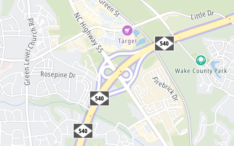
This location's approximate GPS Coordinates are 35.84069 x -78.88651.
Which directions can I travel from here?
NOTE: This road is circular; therefore, the directions shown correspond to the exit's location on that circle.
◄ counter clockwise / clockwise ►
From this junction, traffic can enter traveling both northbound and southbound. Traffic can also exit traveling both northbound and southbound.
On to N.C. 885 / to I-885, about 1.6 miles away ►
◄ Back to T15/T16 Mainline Toll Gantry, about 0.7 miles away.
Nearby gas and food are shown on the interactive map below.
Weather & Visibility

Mostly Cloudy
62°F / 16.8°C
Feels Like
72°F / 22.3°C

Visibility
16 Mi / 25.7 Km
3 Hr Precip
0 In / 0.0 Cm

-
SE Wind
2.8 Mi / 4.5 Km
Gusts
4.9 Mi / 7.8 Km
See the full forecast for This Location or the Raleigh - Durham area
Conditions and forecasts provided in partnership with AccuWeather.

Weather provided in partnership with AccuWeather.
Available Cameras

182 Ft
0.23 Mi
0.94 Mi
1.30 Mi
1.50 Mi


 Monroe Expressway ▹
 Triangle Expressway ▹
 Chesapeake Bay Bridge Tunnel ▹
 Chesapeake Expressway ▹
 Downtown Tunnel ▹
 South Norfolk Jordan Bridge ▹
 Midtown Tunnel ▹
 Dominion Boulevard Veterans Bridge ▹
 Southern Connector ▹


