This Location At A Glance
This toll point is located in Apex. Raleigh is nearby. NOTE: T25 NB (Clockwise) / T26 SB (Counter clockwise).
This location is in the Raleigh - Durham area.
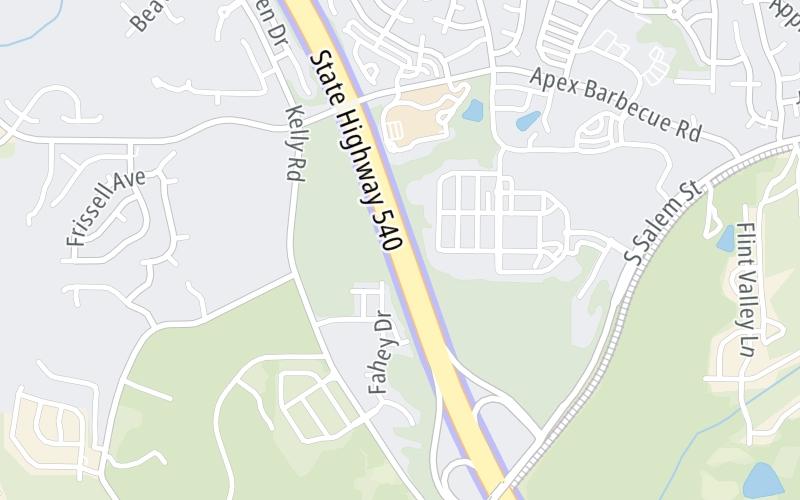
Map image © TomTom Intl BV
This location's approximate GPS Coordinates are 35.71734 x -78.88433.
On to U.S. Hwy 64, about 2.1 miles away ►
◄ Back to Salem Street / Old US 1, about 0.7 miles away.
Nearby gas and food are shown on the interactive map below.
Weather & Visibility

Mostly Cloudy
64°F / 17.5°C
Feels Like
73°F / 22.6°C

Visibility
18 Mi / 29 Km
3 Hr Precip
0 In / 0.0 Cm

-
SE Wind
2.8 Mi / 4.5 Km
Gusts
4.3 Mi / 7 Km
See the full forecast for the Raleigh - Durham area
Conditions and forecasts provided in partnership with AccuWeather.

Weather provided in partnership with AccuWeather.
Available Cameras

0.36 Mi
0.60 Mi
1.12 Mi
1.40 Mi
1.59 Mi
Advertising


 Monroe Expressway ▹
 Triangle Expressway ▹
 Chesapeake Bay Bridge Tunnel ▹
 Chesapeake Expressway ▹
 Downtown Tunnel ▹
 South Norfolk Jordan Bridge ▹
 Midtown Tunnel ▹
 Dominion Boulevard Veterans Bridge ▹
 Southern Connector ▹


