Share

Triangle Expressway At T33/T34 Mainline Toll Gantry

Advertising
Advertising

About This Location

T33/T34 Mainline Toll Gantry
Map image © TomTom Intl BV

At A Glance

This toll point is located in Apex. Holly Springs and Raleigh are nearby. NOTE: T33 WB (Clockwise) / T34 EB (Counter clockwise).

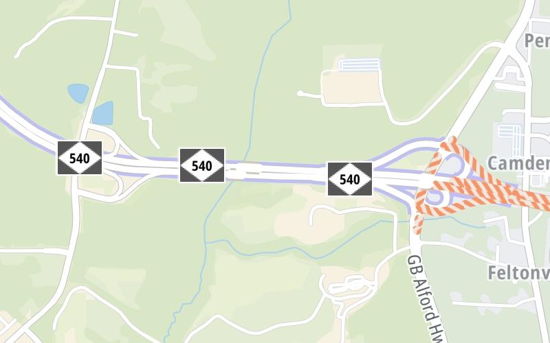
This location is in the Raleigh - Durham area.

Interactive Map Below

This location's approximate GPS Coordinates are 35.68829 x -78.84966.

On to Veridea Parkway, about 0.7 miles away ►

◄ Back to NC 55 Bypass, about 0.6 miles away.

View Map Travel Conditions

Advertising
Advertising

Interactive POI Map

The interactive map will help you orient this location in relationship to other junctions.

Current driving conditions and weather may be found below.

Advertising
Advertising

Travel Conditions At T33/T34 Mainline Toll Gantry

Current Weather And Visibility

  • 17 7 12
  • Cloudy

    41°F / C

    Feels Like:

    41°F / 4.8°C

  • Visibility

    2 Mi / 3.2 Km

    3-Hour Precip:

    0.32 In / 0.8 Cm

  • North Northwest
    Winds (NNW)

    2.9 MPH / 4.7 KPH

    Gusts:

    6.5 MPH / 10.4 KPH

▸ Get the full forecast for the Raleigh - Durham area

Available Cameras

TOLL 540 @ NC 55 RAMP

Camera direction: SOUTH. Raleigh 27539.
Source: NCDOT.

Camera direction: SOUTH. Raleigh 27539.<br />Source: NCDOT -

0.33 Mi

Camera direction: SOUTH. Raleigh 27539.<br />Source: NCDOT -

0.52 Mi

Camera direction: EAST. Raleigh 27539.<br />Source: NCDOT -

0.67 Mi

Camera direction: SOUTH. Raleigh 27502.<br />Source: NCDOT -

1.37 Mi

Camera direction: SOUTH. Raleigh 27502.<br />Source: NCDOT -

1.47 Mi

Advertising
Advertising

Pictures At T33/T34 Mainline Toll Gantry

No photos …

There are no currently-available photos for this location.

Advertising
Advertising

Discover North Carolina Attractions

Hotels and destinations header

Hotels & Airports

Destination Travel

Advertising
Advertising

EXPLORE NORTH CAROLINA

Journey to key destinations around and adjacent to North Carolina!

Map Of This Region ▹

Communities in this metro area include Charlotte, Wesley Chapel, Monroe, Unionville, and Fairview.

Individual toll maps for this region are listed below.

Map Of This Region ▹

Communities in this metro area include Raleigh, Durham, Apex, Morrisville, Carpenter, and Chapel Hill.

Individual toll maps for this region are listed below.

Map Of This Region ▹

Communities in this metro area include Norfolk, Chesapeake, Virginia Beach, Newport News, Portsmouth, Suffolk, and Moyock, North Carolina.

Individual toll maps for this region are listed below.

Map Of This Region ▹

Communities in this metro area include Greenville, Spartanburg, Piedmont, Simpsonville, Anderson, and Asheville, North Carolina.

Individual toll maps for this region are listed below.

Static map of Triangle Expressway at T33/T34 Mainline Toll Gantry

Static map. Interactive map is above.

Advertising
Advertising
Turnpikes.com is proud to partner with the following: