This Location At A Glance
NOTICE! Data for this plaza/rest stop is being updated.
This travel plaza is located in Hooksett.
This location is in the Manchester - Concord area.
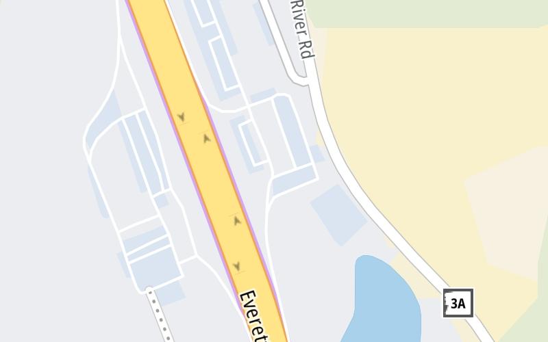
Map image © TomTom Intl BV
This location's approximate GPS Coordinates are 43.10936 x -71.47523.
On to I-89, about 5.1 miles away ►
◄ Back to Hooksett South Rest Area, about 0.1 miles away.
Nearby gas and food are shown on the interactive map below.
Weather & Visibility

Partly Sunny
82°F / 27.8°C
Feels Like
78°F / 25.6°C

Visibility
10 Mi / 16.1 Km
3 Hr Precip
0 In / 0.0 Cm

-
S Wind
18.4 Mi / 29.6 Km
Gusts
35.7 Mi / 57.4 Km
See the full forecast for This Location or the Manchester - Concord area
Conditions and forecasts provided in partnership with AccuWeather.

Weather provided in partnership with AccuWeather.
Available Cameras

1.35 Mi
1.41 Mi
2.49 Mi
3.43 Mi
Advertising


 Everett Turnpike ▹
 Blue Star Turnpike ▹
 Spaulding Turnpike ▹
 Maine Turnpike ▹


