About This Location
At A Glance
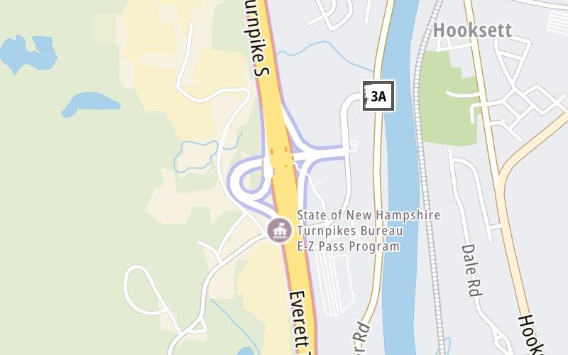
This toll point is located in Hooksett.
This location is in the Manchester - Concord area.
This location's approximate GPS Coordinates are 43.08542 x -71.47367.
On to NH 3A, about 0.1 miles away ►
◄ Back to I–93, about 2.5 miles away.
Above: Map image © TomTom Intl BVUsing The POI Map
The interactive map will help you orient this location in relationship to other junctions.
Current driving conditions and weather may also be found below the map.


 Everett Turnpike ▹
 Blue Star Turnpike ▹
 Spaulding Turnpike ▹
 Maine Turnpike ▹


