This Location At A Glance
This junction is located in Bedford. Manchester is nearby.
This location is in the Manchester - Concord area.
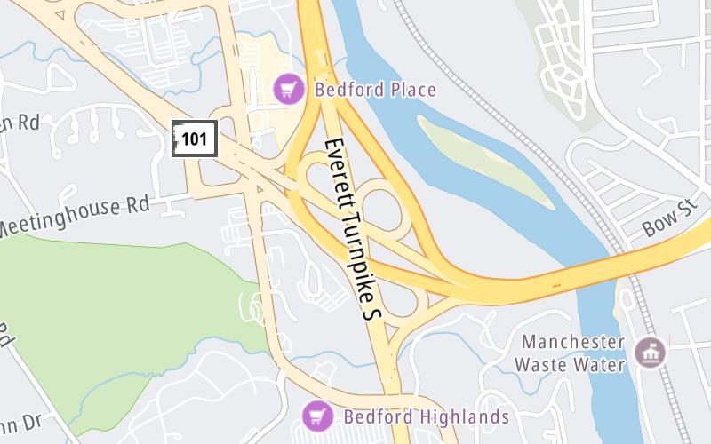
This location's approximate GPS Coordinates are 42.94895 x -71.47213.
Which directions can I travel from here?
From this junction, traffic can enter traveling both southbound and northbound. Traffic can also exit traveling both southbound and northbound.
On to Second St / Queen City Ave/US 3, about 1.9 miles away ►
◄ Back to I-293 / to East, about 0.2 miles away.
Nearby gas and food are shown on the interactive map below.
Weather & Visibility

Mostly Cloudy
62°F / 16.7°C
Feels Like
60°F / 15.8°C

Visibility
10 Mi / 16.1 Km
3 Hr Precip
0 In / 0.0 Cm

-
SSW Wind
11.5 Mi / 18.5 Km
Gusts
11.5 Mi / 18.5 Km
See the full forecast for This Location or the Manchester - Concord area
Conditions and forecasts provided in partnership with AccuWeather.

Weather provided in partnership with AccuWeather.
Available Cameras

0.25 Mi
1.10 Mi
2.40 Mi
3.72 Mi


 Everett Turnpike ▹
 Blue Star Turnpike ▹
 Spaulding Turnpike ▹
 Maine Turnpike ▹


