Share

Everett Turnpike At Bedford Toll Plaza

Advertising
Advertising

This Location At A Glance

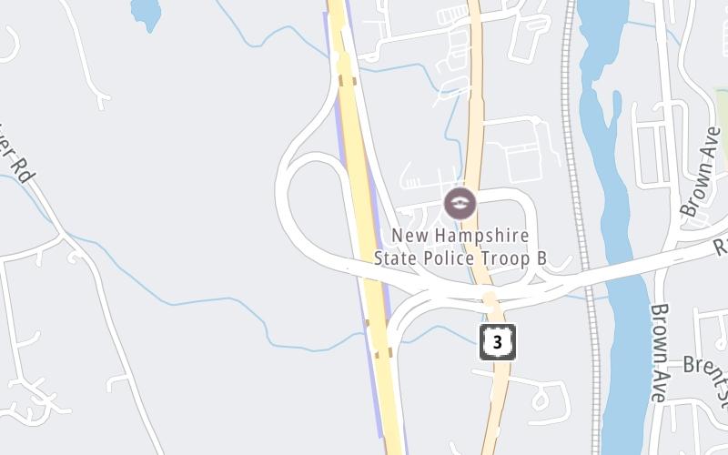
This toll point is located in Bedford.

This location is in the Manchester - Concord area.

Bedford Toll Plaza
Map image © TomTom Intl BV

This location's approximate GPS Coordinates are 42.91497 x -71.46513.

Interactive Map Below


On to I–293 / to East, about 2.2 miles away ►

◄ Back to Manchester–Boston Airport (MHT) / Raymond Wieczorek Dr, about 0.1 miles away.

Nearby gas and food are shown on the interactive map below.

View Map

Weather & Visibility

  • 13 7 02
  • Sunny

    F / -15.6°C

    Feels Like

    15°F / -9.3°C

  • Visibility

    10 Mi / 16.1 Km

    3 Hr Precip

    0 In / 0.0 Cm

  • N Wind

    0 Mi / 0 Km

    Gusts

    3.5 Mi / 5.6 Km


Available Cameras

101 E MM 53.8

Camera direction: UNKNOWN. undetermined 03110.
Source: MTA.

Camera direction: UNKNOWN. undetermined 03110.<br />Source: MTA -

2.51 Mi

Camera direction: UNKNOWN. undetermined 03110.<br />Source: MTA -

3.47 Mi

Advertising

Closest Food, Gas, EV And Other Services Near Bedford Toll Plaza

The map shows traffic cameras and services in about a two-mile radius. Not all locations have cameras

Advertising

Discover New Hampshire Attractions

Hotels and destinations header

Hotels & Airports

Destination Travel

Advertising
Advertising

EXPLORE NEW HAMPSHIRE

Journey to key destinations around and adjacent to New Hampshire!

Map Of This Region ▹

Communities in this metro area include Hooksett, Concord, Manchester, and West Concord.

Individual toll maps for this region are listed below.

Map Of This Region ▹

Communities in this metro area include Portsmouth, Dover, Durham, Rochester, Kittery, Maine, and York, Maine.

Individual toll maps for this region are listed below.

Static map of Everett Turnpike at Bedford Toll Plaza

Static map. Interactive map is above.

Advertising
Advertising
Turnpikes.com is proud to partner with the following: