Interactive map shows available cameras, plus nearby fuel, food and lodging
See below for more about this area
This is Exit 4 of the Everett Turnpike.
This junction is located in Nashua.
This location is in the Manchester - Concord area; it also overlaps with the Boston area.
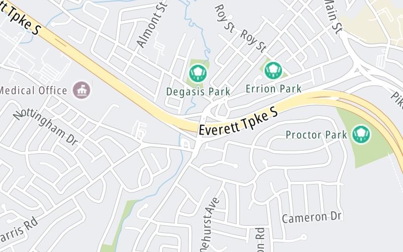
This location's approximate GPS Coordinates are 42.73308 x -71.47038.
Which directions can I travel from here?
From this junction, traffic can enter traveling both southbound and northbound. Traffic can also exit traveling both southbound and northbound.
On to NH 111 / Hollis St / Main Dunstable Rd, about 1.5 miles away ►
◄ Back to Daniel Webster Highway, about 0.6 miles away.
This location also connects with Massachusetts.
Which direction are tolls charged here?
Tolls are not charged or collected at this junction.
The interactive map and lists on this page include key traveler services within two miles of this destination point.
You will find common services, including gas stations, truck stops, EV charging facilities, fast-food or family restaurants, and hotels. These are displayed on the interactive map as markers, which you can select for more information.
Current driving conditions and weather, along with a more complete list of key services, may be found below the map.
Static map. Interactive map is above.Mostly Cloudy
81°F / 27°C
Feels Like:
84°F / 29.2°C
Visibility
8 Mi / 12.9 Km
3-Hour Precip:
0 In / 0.0 Cm
Southwest
Winds (SW)
2.4 MPH / 3.8 KPH
Gusts:
5.3 MPH / 8.5 KPH
▸ Get the full forecast for This Location | The Manchester - Concord area
There is no currently-available traffic camera feed for this location.
There are no currently-available photos for this location.
The map above shows all services within about a two (2) mile radius.
Destination Travel
Closest Gas Stations
CUMBERLAND FARMS
111 Daniel Webster Highway • 1.18 miles
Store/Fuel Brand: Cumberland Farms
GULF
337 Main Street • 1.25 miles
Store/Fuel Brand: Gulf
SHELL
163 Main Dunstable Road • 1.34 miles
Store/Fuel Brand: Shell
SHELL
270 Main Dunstable Road • 1.40 miles
Store/Fuel Brand: Shell
Closest EV Chargers
Closest Fast Food
Fast food refers ONLY to quick-service and take-out diners. All restaurant types are shown on the map above.
HAYWARD'S ICE CREAM
7 Daniel Webster Highway • 0.70 miles
MCDONALD'S
3 Northeastern Boulevard • 1,412 feet
T J'S DELI & CATERING
2 Pittsburgh Avenue • 1.07 miles
DOMINO'S
99 Northeastern Boulevard • 1.11 miles
DUNKIN'
109 Daniel Webster Highway • 1.15 miles
PAPA JOHN'S
110 Daniel Webster Highway • 1.17 miles
POPEYES
141 Daniel Webster Highway • 1.28 miles
CHRISTOPHERS SUBS & PIZZA
264 Main Dunstable Road • 1.37 miles
Journey to key destinations around and adjacent to New Hampshire!
Communities in this metro area include Hooksett, Concord, Manchester, and West Concord.
Individual toll maps for this region are listed below.
Communities in this metro area include Portsmouth, Dover, Durham, Rochester, Kittery, Maine, and York, Maine.
Individual toll maps for this region are listed below.