Share

Independence Bridge At Toll Gantry

Advertising
Advertising

This Location At A Glance

This toll point is located in Bay City. Essexville is nearby. NOTE: Expected location of new gantry.

This location is in the East Central Michigan area.

Toll gantry
Map image © TomTom Intl BV

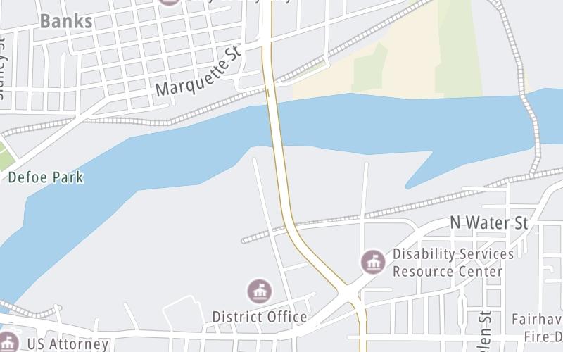
This location's approximate GPS Coordinates are 43.61088 x -83.87225.

Interactive Map Below


On to Independece Bridge bascule, about 0.2 miles away ►

◄ Back to Woodside Avenue, about 0.4 miles away.

Nearby gas and food are shown on the interactive map below.

View Map

Weather & Visibility

  • 02 7 03
  • Mostly Cloudy

    32°F / 0°C

    Feels Like

    28°F / -2.1°C

  • Visibility

    15 Mi / 24.1 Km

    3 Hr Precip

    0 In / 0.0 Cm

  • SSE Wind

    6 Mi / 9.7 Km

    Gusts

    9.1 Mi / 14.6 Km


Available Cameras

No camera feed …

There is no currently-available traffic camera feed for this location.

Advertising

Closest Food, Gas, EV And Other Services Near Toll gantry

The map shows traffic cameras and services in about a two-mile radius. Not all locations have cameras

Advertising

Discover Michigan Attractions

Hotels and destinations header

Hotels & Airports

Destination Travel

Advertising
Advertising

EXPLORE MICHIGAN

Journey to key destinations around and adjacent to Michigan!

Map Of This Region ▹

Communities in this metro area include Detroit, Grosse Ile, Ann Arbor, Pontiac, and Lansing.

Individual toll maps for this region are listed below.

Map Of This Region ▹

Communities in this metro area include St Ignace and Sault Ste Marie.

Individual toll maps for this region are listed below.

Map Of This Region ▹

Communities in this metro area include Port Huron, Flint, Saginaw, and Bay City.

Individual toll maps for this region are listed below.

Map Of This Region ▹

Communities in this metro area include Toledo, Perrysburg, Maumee, Montpelier, and Wauseon.

Individual toll maps for this region are listed below.

Map Of This Region ▹

Communities in this metro area include Sault Ste Marie, Thunder Bay, Fort Frances, and Greater Sudbury.

Individual toll maps for this region are listed below.

Map Of This Region ▹

Communities in this metro area include Windsor.

Individual toll maps for this region are listed below.

Static map of Independence Bridge at Toll gantry

Static map. Interactive map is above.

Advertising
Advertising
Turnpikes.com is proud to partner with the following: