This Location At A Glance
This toll point is located in Bay City.
This location is in the East Central Michigan area.
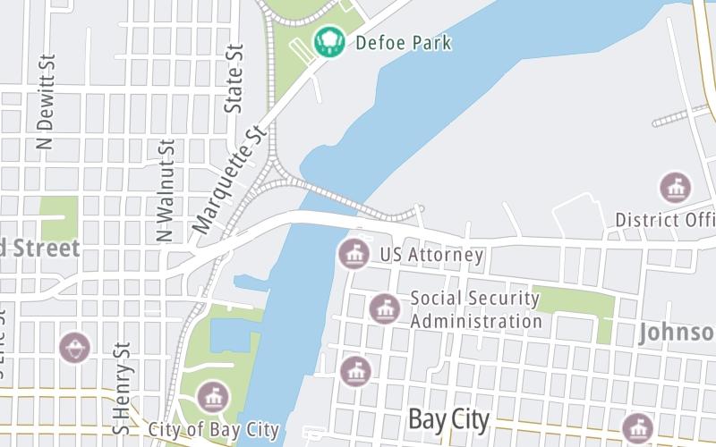
Map image © TomTom Intl BV
This location's approximate GPS Coordinates are 43.60454 x -83.88882.
On to Washington Avenue, about 0.1 miles away ►
◄ Back to Liberty Bridge bascule, about 0.1 miles away.
Nearby gas and food are shown on the interactive map below.
Weather & Visibility

Mostly Cloudy
39°F / 4°C
Feels Like
43°F / 6.1°C

Visibility
12 Mi / 19.3 Km
3 Hr Precip
0 In / 0.0 Cm

-
NNE Wind
5.4 Mi / 8.7 Km
Gusts
7 Mi / 11.3 Km
See the full forecast for the East Central Michigan area
Conditions and forecasts provided in partnership with AccuWeather.

Weather provided in partnership with AccuWeather.
Available Cameras
No camera feed …
There is no currently-available traffic camera feed for this location.
Advertising


 Ambassador Bridge ▹
 Detroit Windsor Tunnel ▹
 Mackinac Bridge ▹
 Liberty Bridge ▹
 Independence Bridge ▹
 Ohio Turnpike ▹
 Indiana Toll Road ▹


