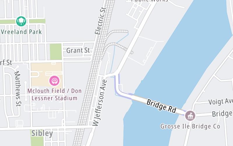
This junction is located in Riverview. Detroit is nearby. NOTE: Access point for bridge.
This location is in the Detroit - Southeast Lower Peninusula area.
This location's approximate GPS Coordinates are 42.17654 x -83.16644.
Which directions can I travel from here?
From this junction, traffic can only enter going eastbound. Traffic can only exit going westbound.
On to Grosse Ile Toll Booths, about 0.1 miles away ►
Which direction are tolls charged here?
Tolls are not charged or collected at this junction.
Use the map below for all services within about a two (2) mile radius.
Closest Gas Stations
RP FUEL
18215 Fort Street • 1.13 miles
Store/Fuel Brand:

SPEEDWAY
18799 Fort Street • 1.20 miles
Store/Fuel Brand: Speedway

MOBIL
18982 Fort Street • 1.25 miles
Store/Fuel Brand: Mobil
KROGER
16705 Fort Street • 1.28 miles
Store/Fuel Brand: Kroger
Closest EV Chargers
Closest Fast Food
Fast food refers ONLY to quick-service and take-out diners. All restaurant types are shown on the map above.
TUBBY'S
18520 Fort Street • 1.21 miles
BOB JO'S FROZEN CUSTARD
4071 Quarry Street • 1.21 miles

MCDONALD'S
16515 Fort Street • 1.21 miles

TACO BELL
18718 Fort Street • 1.24 miles

PANDA EXPRESS
16100 Fort Street • 1.25 miles
DEL TACO
16252 Fort Street • 1.25 miles
SMOOTHIE KING
16230 Fort Street • 1.25 miles
SONIC
16270 Fort Street • 1.26 miles
The interactive map and lists on this page include key traveler services in a two-mile radius, including gas stations, truck stops, EV charging facilities, fast-food or family restaurants, and hotels.
Current driving conditions and weather, may be found below.

Cloudy
39°F / 4°C
Feels Like:
39°F / 3.7°C
Visibility
11 Mi / 17.7 Km
3-Hour Precip:
0 In / 0.0 Cm
North Northeast
Winds (NNE)
3.5 MPH / 5.6 KPH
Gusts:
9.1 MPH / 14.7 KPH
▸ Get the full forecast for This Location | The Detroit - Southeast Lower Peninusula area
No camera feed …
There is no currently-available traffic camera feed for this location.
There are no currently-available photos for this location.
Destination Travel
Journey to key destinations around and adjacent to Michigan!
Communities in this metro area include Detroit, Grosse Ile, Ann Arbor, Pontiac, and Lansing.
Individual toll maps for this region are listed below.
Communities in this metro area include St Ignace and Sault Ste Marie.
Individual toll maps for this region are listed below.
Communities in this metro area include Port Huron, Flint, Saginaw, and Bay City.
Individual toll maps for this region are listed below.
Communities in this metro area include Toledo, Perrysburg, Maumee, Montpelier, and Wauseon.
Individual toll maps for this region are listed below.
Communities in this metro area include Sault Ste Marie, Thunder Bay, Fort Frances, and Greater Sudbury.
Individual toll maps for this region are listed below.
Communities in this metro area include Windsor.
Individual toll maps for this region are listed below.