This Location At A Glance
This junction is located in Sault Ste Marie. NOTE: Surface street / northern terminus.
This location is in the Eastern Upper Peninsula area; it also overlaps with the Northern Ontario area.
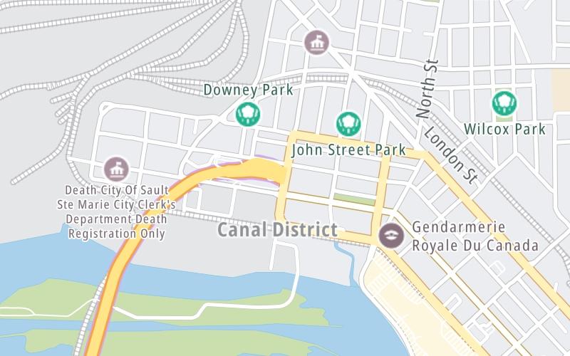
This location's approximate GPS Coordinates are 46.51910 x -84.34768.
Which directions can I travel from here?
From this junction, traffic can enter traveling both southbound and northbound. Traffic can also exit traveling both southbound and northbound.
◄ Back to Canada Border Services, about 0.1 miles away.
This location also connects with Ontario.
Nearby gas and food are shown on the interactive map below.
Weather & Visibility

Partly Sunny
39°F / 4°C
Feels Like
33°F / 0.5°C

Visibility
11 Mi / 17.7 Km
3 Hr Precip
0 In / 0.0 Cm

-
NW Wind
15.5 Mi / 24.9 Km
Gusts
21.9 Mi / 35.3 Km
See the full forecast for This Location or the Eastern Upper Peninsula area
Conditions and forecasts provided in partnership with AccuWeather.

Weather provided in partnership with AccuWeather.
Available Cameras
No camera feed …
There is no currently-available traffic camera feed for this location.


 Ambassador Bridge ▹
 Detroit Windsor Tunnel ▹
 Mackinac Bridge ▹
 Liberty Bridge ▹
 Independence Bridge ▹
 Ohio Turnpike ▹
 Indiana Toll Road ▹


