This Location At A Glance
This junction is located in . NOTE: Customs and Border Protection checkpoint.
This location is in the Eastern Upper Peninsula area; it also overlaps with the Northern Ontario area.
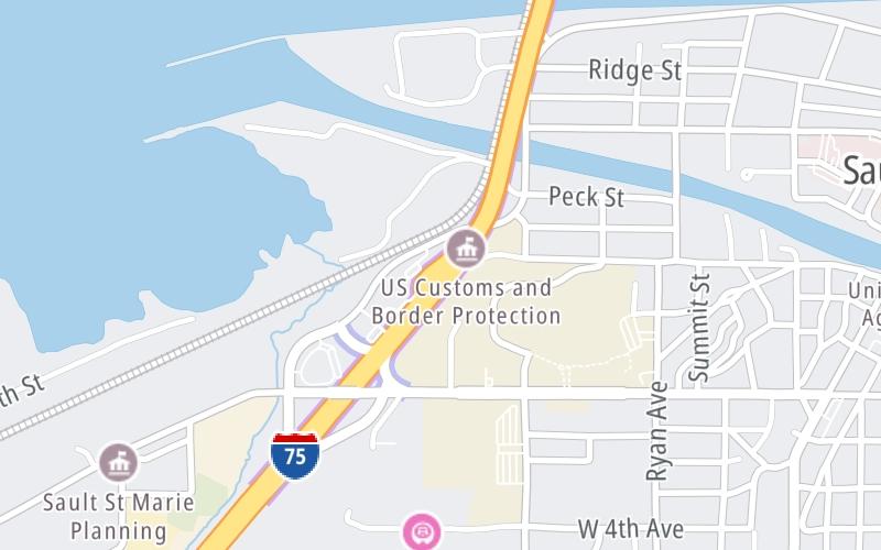
This location's approximate GPS Coordinates are 46.49485 x -84.36729.
Which directions can I travel from here?
From this junction, traffic can only enter going southbound. Traffic can only exit going southbound.
On to United States / Canada Border, about 1.0 mile away ►
◄ Back to Sault Ste Marie Bridge Toll Plaza, about 0.1 miles away.
Nearby gas and food are shown on the interactive map below.
Weather & Visibility

Mostly Sunny
33°F / 0.5°C
Feels Like
41°F / 5.1°C

Visibility
10 Mi / 16.1 Km
3 Hr Precip
0 In / 0.0 Cm

-
W Wind
5.9 Mi / 9.6 Km
Gusts
9.7 Mi / 15.6 Km
See the full forecast for the Eastern Upper Peninsula area
Conditions and forecasts provided in partnership with AccuWeather.

Weather provided in partnership with AccuWeather.
Available Cameras
No camera feed …
There is no currently-available traffic camera feed for this location.


 Ambassador Bridge ▹
 Detroit Windsor Tunnel ▹
 Mackinac Bridge ▹
 Liberty Bridge ▹
 Independence Bridge ▹
 Ohio Turnpike ▹
 Indiana Toll Road ▹


