This is Exit 137 of the Ted Williams Tunnel.
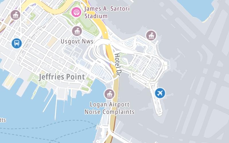
This junction is located in Boston. NOTE: Boston Logan International Airport.
This location is in the Boston area.
This location's approximate GPS Coordinates are 42.36592 x -71.02491.
Which directions can I travel from here?
From this junction, traffic can enter traveling both westbound and eastbound. Traffic can also exit traveling both westbound and eastbound.
On to Mass 1A, about 0.4 miles away ►
◄ Back to South Boston / Mass Pike, about 1.7 miles away.
Which direction are tolls charged here?
Tolls are not charged or collected at this junction.
Use the map below for all services within about a two (2) mile radius.
Closest Gas Stations

SHELL
52 Meridian Street • 0.83 miles
Store/Fuel Brand: Shell

BP
331 Bennington Street • 0.92 miles
Store/Fuel Brand: BP

MOBIL
396 Chelsea Street • 0.96 miles
Store/Fuel Brand: Mobil

TODISCOS MOBIL
470 Meridian Street • 1.39 miles
Store/Fuel Brand: Mobil
Closest EV Chargers
Closest Fast Food
Fast food refers ONLY to quick-service and take-out diners. All restaurant types are shown on the map below.

DUNKIN'
200 Logan Airport Terminal B • 0.39 miles
KELLY'S ROAST BEEF
200 Terminal B • 0.39 miles

DUNKIN'
500 Terminal E • 0.39 miles
TICO
Terminal B • 0.41 miles
POTBELLY LOGAN AIRPORT-TERMINAL C
Terminal C • 0.44 miles
TEMAZCAL
Harborside Drive • 0.50 miles

DUNKIN'
Terminal B & Logan Airport Terminal B • 0.50 miles
ITALIAN PIZZA EXPRESS.
64 Cottage Street • 0.56 miles
The interactive map and lists on this page include key traveler services in a two-mile radius, including gas stations, truck stops, EV charging facilities, fast-food or family restaurants, and hotels.
Current driving conditions and weather, may be found below.

Cloudy
33°F / 0.5°C
Feels Like:
36°F / 2.1°C
Visibility
8 Mi / 12.9 Km
3-Hour Precip:
0.02 In / 0.1 Cm
West Southwest
Winds (WSW)
1.6 MPH / 2.6 KPH
Gusts:
4.7 MPH / 7.6 KPH
▸ Get the full forecast for This Location | The Boston area
Destination Travel
Journey to key destinations around and adjacent to Massachusetts!
Communities in this metro area include Boston, Cambridge, Chelsea, Allston, Framingham, Westborough, and Worcester.
Individual toll maps for this region are listed below.
Communities in this metro area include Springfield, West Springfield, Chicopee, Westfield, and Hartford, Connecticut.
Individual toll maps for this region are listed below.
Communities in this metro area include Hooksett, Concord, Manchester, and West Concord.
Individual toll maps for this region are listed below.
Communities in this metro area include Albany, Schenectady, Rotterdam, Amsterdam, and West Stockbridge, Massachusetts.
Individual toll maps for this region are listed below.