This Location At A Glance
This junction is located in Boston. NOTE: 1A SB / Sumner Tunnel exit points.
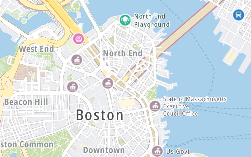
This location is in the Boston area.
Map image © TomTom Intl BV
This location's approximate GPS Coordinates are 42.36261 x -71.05506.
Which directions can I travel from here?
From this junction, traffic can only exit going southbound.
On to Sumner Tunnel toll gantry, about 1.3 miles away ►
Nearby gas and food are shown on the interactive map below.
Weather & Visibility

-
°F / °C
Feels Like
°F / °C

Visibility
Mi / Km
3 Hr Precip
In / 0.0 Cm

-
Wind
Mi / Km
Gusts
Mi / Km
See the full forecast for This Location or the Boston area
Conditions and forecasts provided in partnership with AccuWeather.

Weather provided in partnership with AccuWeather.
Available Cameras

0.51 Mi
0.52 Mi
0.63 Mi
0.71 Mi
0.73 Mi
Advertising


 Massachusetts Turnpike ▹
 Sumner & Callahan Tunnels ▹
 Ted Williams Tunnel ▹
 Tobin Memorial Bridge ▹
 Blue Star Turnpike ▹
 Everett Turnpike ▹


 New York State Thruway ▹


