Search to find available roads, plazas, agencies, etc.
Maryland's Toll Road Maps
The list includes eight toll roads within or crossing into the state of Maryland.
A menu of Maryland's interstates is also shown below.
 Baltimore Harbor Tunnel
  Wm Preston Lane Jr Memorial Bridge
  Fort McHenry Tunnel
  Francis Scott Key Bridge
  Intercounty Connector MD 200
  Thomas J Hatem Memorial Bridge
 Regional Toll Road MapsToll Roads By Type
Maryland Interstates
Simply scroll and tap the shield for the interstate you want.
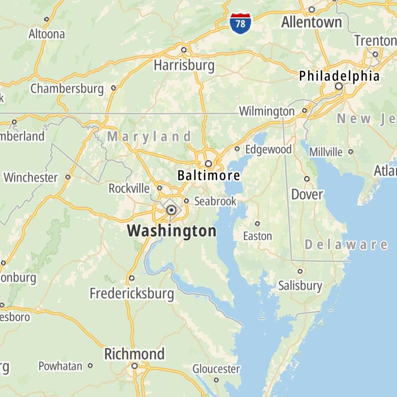
Driving In The State Of Maryland
Maryland's toll roads maps are organized alphabetically and by the type of road. You can find city and regional toll roads below. Interstates are sorted by number.
 Wm Preston Lane Jr Memorial Bridge ▹
 Fort McHenry Tunnel ▹
 Francis Scott Key Bridge ▹
 Baltimore Harbor Tunnel ▹
 Intercounty Connector MD 200 ▹
 Thomas J Hatem Memorial Bridge ▹
 Dulles Greenway ▹
 Delaware Memorial Bridge ▹
 Delaware Turnpike ▹
 State Route 1 ▹


