Share

Abraham Lincoln Bridge At Abraham Lincoln Bridge Tolls

Advertising
Advertising

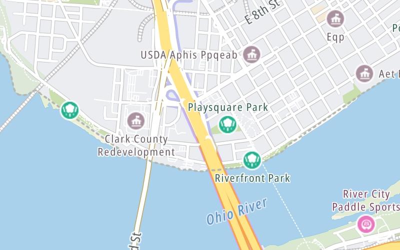
This Location At A Glance

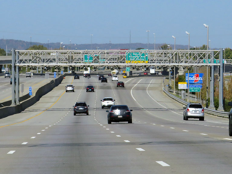
This toll point is located in Louisville. Jeffersonville is nearby. NOTE: Toll gantry on Indiana side of Ohio River.

This location is in the Louisville - Southern Indiana area.

Abraham Lincoln Bridge Tolls
Photo by Turnpikes.com

This location's approximate GPS Coordinates are 38.27057 x -85.74620.

Interactive Map Below


On to US 31 / West Court Ave / 6th St, about 0.1 miles away ►

◄ Back to I–64 / Downtown Louisville, about 0.6 miles away.

This location also connects with Indiana.

Nearby gas and food are shown on the interactive map below.

View Map

Weather & Visibility

  • 13 7 04
  • Mostly Cloudy

    70°F / 21.1°C

    Feels Like

    76°F / 24.2°C

  • Visibility

    11 Mi / 17.7 Km

    3 Hr Precip

    0 In / 0.0 Cm

  • SSW Wind

    4 Mi / 6.5 Km

    Gusts

    10.5 Mi / 16.9 Km


Available Cameras

I-65 ON THE KENNEDY BRIDGE AT MP 137

Camera direction: UNKNOWN. undetermined 47130.
Source: TRIMARC.

Camera direction: UNKNOWN. undetermined 47130.<br />Source: TRIMARC -

0.26 Mi

Camera direction: UNKNOWN. undetermined 47130.<br />Source: TRIMARC -

0.26 Mi

Camera direction: NORTH. Louisville 40202.<br />Source: TRIMARC -

0.34 Mi

Camera direction: UNKNOWN. undetermined 40202.<br />Source: TRIMARC -

0.61 Mi

Camera direction: UNKNOWN. undetermined 40202.<br />Source: TRIMARC -

0.61 Mi

Advertising

Closest Food, Gas, EV And Other Services Near Abraham Lincoln Bridge Tolls

The map shows traffic cameras and services in about a two-mile radius. Not all locations have cameras

Advertising

Discover Kentucky Attractions

Hotels and destinations header

Hotels & Airports

Destination Travel

Advertising
Advertising

EXPLORE KENTUCKY

Journey to key destinations around and adjacent to Kentucky!

Map Of This Region ▹

Communities in this metro area include Louisville and Jeffersonville, Indiana.

Individual toll maps for this region are listed below.

Map Of This Region ▹

Communities in this metro area include Cincinnati, Norwood, Cheviot, Northbrook, Reading, Covington, Kentucky, and Newport, Kentucky.

Individual toll maps for this region are listed below.

cincinnati-covington

Roads Within Region

Map Of This Region ▹

Static map of Abraham Lincoln Bridge at Abraham Lincoln Bridge Tolls

Static map. Interactive map is above.

Advertising
Advertising
Turnpikes.com is proud to partner with the following: