Interactive map shows available cameras, plus nearby fuel, food and lodging
See below for more about this area
This is Exit 188 of I-75.
This surface highway is located in the Cincinnati - Covington area. You will find Cincinnati, Norwood, Cheviot, Northbrook, Reading, Covington, Kentucky, and Newport, Kentucky in this region.
This location's approximate GPS Coordinates are 39.05109 x -84.55111.
Above: Map image © TomTom Intl BVThe interactive map above and lists on this page below include key traveler services within two miles of this location.
You will find common services, including gas stations, truck stops, EV charging facilities, fast-food or family restaurants, and hotels. These are displayed on the interactive map as markers, which you can select for more information.
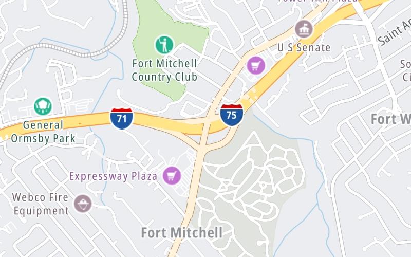
Current weather and driving conditions may be found below.
Mostly Cloudy
80°F / 26.6°C
Feels Like:
85°F / 29.7°C
Visibility
13 Mi / 20.9 Km
3-Hour Precip:
0 In / 0.0 Cm
South
Winds (S)
5.9 MPH / 9.6 KPH
Gusts:
13 MPH / 20.9 KPH
▸ Get the full forecast for This Location | The Cincinnati - Covington area
There are no currently-available photos for this location.
The map above shows all services within about a two (2) mile radius.
Destination Travel
Closest Gas Stations
AMERISTOP EXPRESS
1804 Dixie Highway • 0.91 miles
Store/Fuel Brand: Shell
FORT WRIGHT BP
1750 Dixie Highway • 0.96 miles
Store/Fuel Brand: BP
SUNOCO
2220 Dixie Highway • 1,764 feet
Store/Fuel Brand: Sunoco
SHELL
413 Buttermilk Pike • 1.29 miles
Store/Fuel Brand: Shell
Closest EV Chargers
HARMON’S BARBECUE - SUPERCHARGER
3497 Valley Plaza Parkway • 1.51 miles
CONNECTOR: Tesla
POWER: 250 KW @ 400 V
CURRENT: 625 Amp DC
CHARGEPOINT
2100 Dixie Highway • 439 feet
CONNECTOR: IEC62196Type1CCS
POWER: 62 KW @ 1000 V
CURRENT: 120 Amp DC
Closest Fast Food
Fast food refers ONLY to quick-service and take-out diners. All restaurant types are shown on the map below.
SUB STATION 2
1826 Dixie Highway • 0.85 miles
DUNKIN'
1826 Dixie Highway • 0.85 miles
BETTER BLEND
2510 Dixie Highway • 1.15 miles
JERSEY MIKE'S SUBS
2501 Dixie Highway • 1.15 miles
MARCO'S PIZZA
598 Clock Tower Way • 1.26 miles
PAPA JOHN'S
2501 Chelsea Lane • 1.28 miles
TROPICAL SMOOTHIE CAFE
2416 Baxter Avenue • 1.31 miles
DOMINO'S
2353 Buttermilk Crossing • 1.33 miles
Turnpikes.com has partnered with Tiqets.com to bring you these vacation values!
Journey to key destinations around and adjacent to Kentucky!
Communities in this metro area include Louisville and Jeffersonville, Indiana.
Individual toll maps for this region are listed below.
Communities in this metro area include Cincinnati, Norwood, Cheviot, Northbrook, Reading, Covington, Kentucky, and Newport, Kentucky.
Individual toll maps for this region are listed below.
Roads Within Region