About This Location
At A Glance
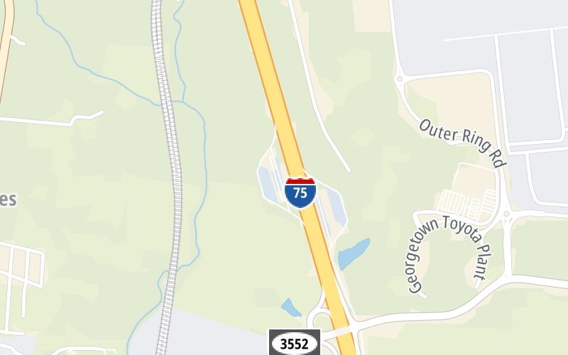
This rest area is located in Georgetown.
This location's approximate GPS Coordinates are 38.24965 x -84.54868.
Above: Map image © TomTom Intl BVUsing The POI Map
The interactive map will help you orient this location in relationship to other junctions.
Current weather and driving conditions may be found below, and any available photos of this location.
Because of the nature of this location, no services are displayed. On most exit or junction pages, a summary of the closest services around the junction will be shown, along with detailed lists of services within two miles.


 Lewis And Clark Bridge ▹
 Abraham Lincoln Bridge ▹


