This Location At A Glance
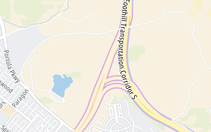
This toll point is located in Irvine. NOTE: SB toll gantry.
This location is in the Greater Los Angeles area.
Map image © TomTom Intl BV
This location's approximate GPS Coordinates are 33.71308 x -117.72347.
On to CA 241 North, about 0.3 miles away ►
◄ Back to Orange Grove Mainline NB, about 0.3 miles away.
Nearby gas and food are shown on the interactive map below.
Weather & Visibility

Cloudy
62°F / 16.5°C
Feels Like
63°F / 17.2°C

Visibility
10 Mi / 16.1 Km
3 Hr Precip
0 In / 0.0 Cm

-
SSW Wind
1.6 Mi / 2.6 Km
Gusts
3.2 Mi / 5.1 Km
See the full forecast for the Greater Los Angeles area
Conditions and forecasts provided in partnership with AccuWeather.

Weather provided in partnership with AccuWeather.
Available Cameras

936 Ft
0.21 Mi
0.40 Mi
0.61 Mi
1.42 Mi
Advertising


 CA 73 ▹
 CA 133 ▹
 CA 241 ▹
 CA 261 ▹
 Antioch Bridge ▹
 Benicia Martinez Bridge ▹
 Carquinez Bridge ▹
 Dumbarton Bridge ▹
 Golden Gate Bridge ▹
 Richmond San Rafael Bridge ▹
 San Mateo Hayward Bridge ▹
 South Bay Expressway ▹


