This Location At A Glance
This toll point is located in Antioch.
This location is in the San Francisco Bay Area area.
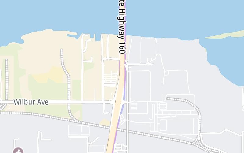
Map image © TomTom Intl BV
This location's approximate GPS Coordinates are 38.01505 x -121.75154.
On to Sherman Island Cross Road, about 3.2 miles away ►
◄ Back to Wilbur Avenue / Bridgehead Road, about 0.2 miles away.
Nearby gas and food are shown on the interactive map below.
Weather & Visibility

Sunny
87°F / 30.8°C
Feels Like
86°F / 30.3°C

Visibility
13 Mi / 20.9 Km
3 Hr Precip
0 In / 0.0 Cm

-
WNW Wind
5.9 Mi / 9.6 Km
Gusts
10.9 Mi / 17.5 Km
See the full forecast for the San Francisco Bay Area area
Conditions and forecasts provided in partnership with AccuWeather.

Weather provided in partnership with AccuWeather.
Available Cameras

2.56 Mi
Advertising


 CA 73 ▹
 CA 133 ▹
 CA 241 ▹
 CA 261 ▹
 Antioch Bridge ▹
 Benicia Martinez Bridge ▹
 Carquinez Bridge ▹
 Dumbarton Bridge ▹
 Golden Gate Bridge ▹
 Richmond San Rafael Bridge ▹
 San Mateo Hayward Bridge ▹
 South Bay Expressway ▹


