This Location At A Glance
This toll point is located in San Diego.
This location is in the San Diego area.
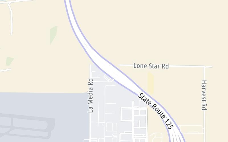
Map image © TomTom Intl BV
This location's approximate GPS Coordinates are 32.57789 x -116.95866.
On to Birch Road, about 3.2 miles away ►
◄ Back to Otay Mesa Road / to CA 905, about 1.4 miles away.
Nearby gas and food are shown on the interactive map below.
Weather & Visibility

Mostly Cloudy
68°F / 20°C
Feels Like
69°F / 20.4°C

Visibility
10 Mi / 16.1 Km
3 Hr Precip
0 In / 0.0 Cm

-
W Wind
9.2 Mi / 14.8 Km
Gusts
9.8 Mi / 15.8 Km
See the full forecast for the San Diego area
Conditions and forecasts provided in partnership with AccuWeather.

Weather provided in partnership with AccuWeather.
Available Cameras
No camera feed …
There is no currently-available traffic camera feed for this location.
Advertising


 CA 73 ▹
 CA 133 ▹
 CA 241 ▹
 CA 261 ▹
 Antioch Bridge ▹
 Benicia Martinez Bridge ▹
 Carquinez Bridge ▹
 Dumbarton Bridge ▹
 Golden Gate Bridge ▹
 Richmond San Rafael Bridge ▹
 San Mateo Hayward Bridge ▹
 South Bay Expressway ▹


