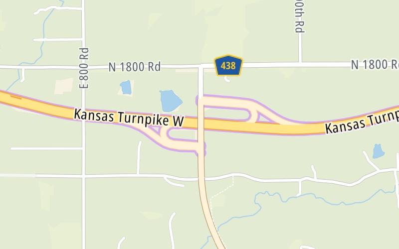
4:15 am Local Time
Clear
12°F / -11°C
Feels Like
13°F / -10.8°C
Visibility
15 Mi / 24.1 Km
3 Hr Precip
0 In / 0.0 Cm
W Wind
3.8 Mi / 6.1 Km
Gusts
10.3 Mi / 16.5 Km
Forecast weather and driving conditions follow the jump. These include an hour-by-hour forecast for the next 12-hours, a three-day forecast and an extended forecast, for extended travel planning.
An area traffic map, with available traffic cameras, shows driving conditions, from current traffic to mother nature's influence on the road. These follow the short-range forecasts below.
No camera feed …
There is no currently-available traffic camera feed for this location.
Wednesday forecast: Mostly sunny

Mostly Sunny
0% Chance Rain
35° F/1.7° C
SW Wind
8 to 13 Mi/
13 to 20 Km
Sunrise
6:31 AM
Wednesday night: Partly cloudy

Partly Cloudy
0% Chance Rain
16° F/-8.9° C
E Wind
7 to 15 Mi/
11 to 24 Km
Sunset
4:37 PM
Thursday forecast: Mostly cloudy and colder with a flurry or two

Flurries
45% Chance Snow
27° F/-2.8° C
NE Wind
12 to 18 Mi/
19 to 30 Km
Sunrise
6:30 AM
Thursday night: Cloudy

Cloudy
15% Chance Snow
15° F/-9.4° C
NNE Wind
7 to 10 Mi/
11 to 17 Km
Sunset
4:39 PM
Friday forecast: Partly sunny, breezy and cold

Partly Sunny
14% Chance Snow
19° F/-7.2° C
N Wind
15 to 25 Mi/
24 to 41 Km
Sunrise
6:29 AM
Friday night: Partly cloudy and frigid; extreme cold can be dangerous for outdoor activities

Cold
3% Chance Snow
-2° F/-18.9° C
N Wind
12 to 22 Mi/
19 to 35 Km
Sunset
4:40 PM
This junction is located in Lawrence, at GPS 38.99653 x -95.34394. Kanwaka is nearby. This location is in the Kansas City - Topeka area.
You can pan and zoom the interactive map. Select cameras to see the on-road traffic feeds, and pick exits or other markers for conditions at those locations.
Journey to key destinations around and adjacent to Kansas!
Communities in this metro area include Kansas City, Kansas City, Missouri, Topeka, Lawrence, Overland Park, Edwardsville, and Bonner Springs.
Individual toll maps for this region are listed below.
Communities in this metro area include Wichita, Bel Aire, Andover, Valley Center, and Maize.
Individual toll maps for this region are listed below.
Communities in this metro area include Tulsa, Broken Arrow, Muskogee, Stillwater, Sapulpa, Vinita, Joplin, Missouri, Siloam Springs, Arkansas, and San Springs.
Individual toll maps for this region are listed below.
Communities in this metro area include Stillwater and Tulsa.
Individual toll maps for this region are listed below.