This Location At A Glance
This toll point is located in Golden Grove. Piedmont and Greenville are nearby. NOTE: Southern Connector west toll plaza.
This location is in the Greenville - Spartanburg area.
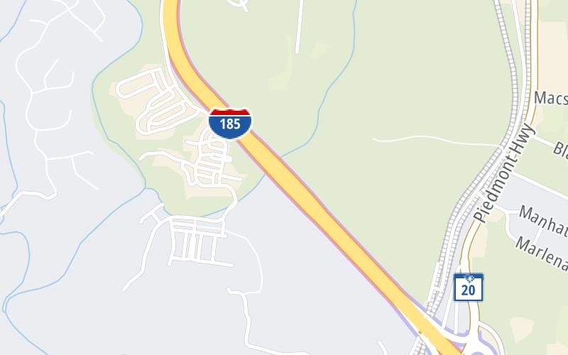
This location's approximate GPS Coordinates are 34.75094 x -82.44671.
On to Brown Road, about 1.0 mile away ►
◄ Back to SC 20, about 0.9 miles away.
Nearby gas and food are shown on the interactive map below.
Weather & Visibility

Clear
45°F / 7.2°C
Feels Like
49°F / 9.4°C

Visibility
10 Mi / 16.1 Km
3 Hr Precip
0 In / 0.0 Cm

-
N Wind
0 Mi / 0 Km
Gusts
0 Mi / 0 Km
See the full forecast for the Greenville - Spartanburg area
Conditions and forecasts provided in partnership with AccuWeather.

Weather provided in partnership with AccuWeather.
Available Cameras
No camera feed …
There is no currently-available traffic camera feed for this location.


 Southern Connector ▹


 Monroe Expressway ▹


