Search to find available roads, plazas, agencies, etc.
South Carolina's only toll road:
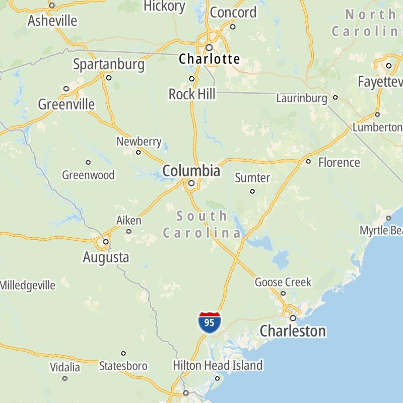
Regional Toll Road MapsToll Roads By Type
Simply scroll and tap the shield for the interstate you want.
South Carolina's toll roads maps are organized alphabetically and by the type of road. You can find city and regional toll roads below. Interstates are sorted by number.
Select a metro area for regional toll road maps and a list of the toll roads in that area.
Communities in this metro area include Greenville, Spartanburg, Piedmont, Simpsonville, Anderson, and Asheville, North Carolina.
Individual toll maps for this region are listed below.
Communities in this metro area include Columbia, West Columbia, Forest Acres, Orangeburg, Sumter, and Newberry.
Individual toll maps for this region are listed below.
Roads Within Region
Communities in this metro area include Myrtle Beach, Carolina Forest, Arcadian Shores, North Myrtle Beach, Surfside Beach, and Murrells Inlet.
Individual toll maps for this region are listed below.
Roads Within Region
Communities in this metro area include Charleston, Isle Of Palms, Kiawah Island, Johns Island, Folly Beach, North Charleston, and Goose Creek.
Individual toll maps for this region are listed below.
Roads Within Region
Communities in this metro area include Charlotte, Wesley Chapel, Monroe, Unionville, and Fairview.
Individual toll maps for this region are listed below.
The state map displays icons for key regions in South Carolina. Select a region for a list of the roads in the region. You can select road maps individually or get a metro-area map of the region.