This Location At A Glance
This toll point is located in Jamestown.
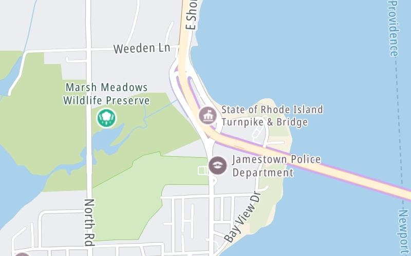
Map image © TomTom Intl BV
This location's approximate GPS Coordinates are 41.50909 x -71.36502.
On to Halsey St / JT Connell Hwy, about 2.8 miles away ►
◄ Back to E Shore Road / Conanicus Ave, about 0.2 miles away.
Nearby gas and food are shown on the interactive map below.
Weather & Visibility

Partly Sunny
46°F / 8°C
Feels Like
47°F / 8.3°C

Visibility
10 Mi / 16.1 Km
3 Hr Precip
0 In / 0.0 Cm

-
SW Wind
11 Mi / 17.7 Km
Gusts
20.4 Mi / 32.8 Km
Conditions and forecasts provided in partnership with AccuWeather.

Weather provided in partnership with AccuWeather.
Available Cameras
No camera feed …
There is no currently-available traffic camera feed for this location.
Advertising


