This Location At A Glance
This junction is located in Jamestown. NOTE: West side of bridge / Route 138 continues.
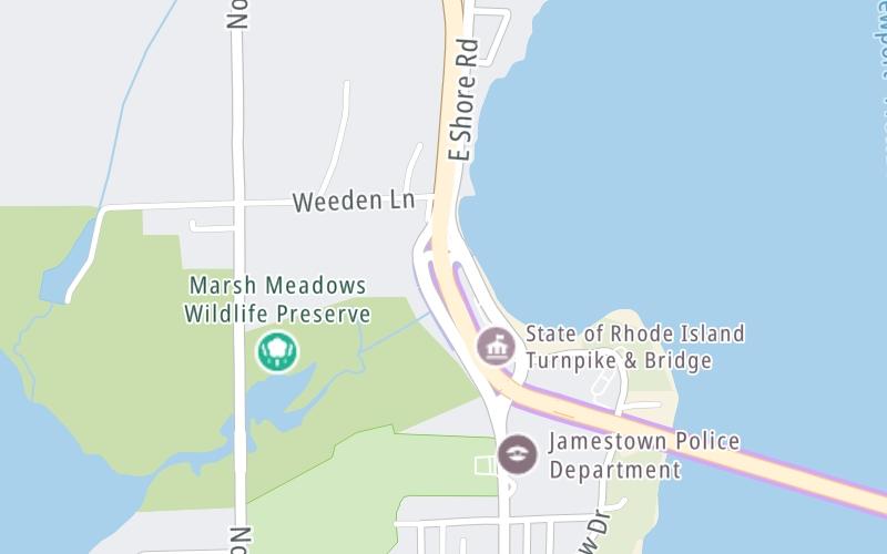
This location's approximate GPS Coordinates are 41.51187 x -71.36688.
Which directions can I travel from here?
From this junction, traffic can only enter going eastbound. Traffic can only exit going westbound.
On to Toll gantry, about 0.2 miles away ►
Nearby gas and food are shown on the interactive map below.
Weather & Visibility

Partly Sunny
46°F / 8°C
Feels Like
47°F / 8.3°C

Visibility
10 Mi / 16.1 Km
3 Hr Precip
0 In / 0.0 Cm

-
SW Wind
11 Mi / 17.7 Km
Gusts
20.4 Mi / 32.8 Km
See the full forecast for This Location
Conditions and forecasts provided in partnership with AccuWeather.

Weather provided in partnership with AccuWeather.
Available Cameras
No camera feed …
There is no currently-available traffic camera feed for this location.


